Lapworth Circular Canal Walk
![]()
![]() A circular walk from Lapworth which follows nice sections of the Stratford Upon Avon Canal and the Grand Union Canal. You'll also visit the moated manor house at Baddesley Clinton and the tudor Packwood House.
A circular walk from Lapworth which follows nice sections of the Stratford Upon Avon Canal and the Grand Union Canal. You'll also visit the moated manor house at Baddesley Clinton and the tudor Packwood House.
The walk starts in the small Warwickshire village of Lapworth which lies about 10 miles north west of Warwick. From here it is a short stroll to the Stratford Canal which you can follow east to Kingswood Junction where it joins with the Grand Union Canal. The route leaves the canal here to take a short detour along the Heart of England Way to Baddesley Clinton. The fine moated manor house includes blubell woodland trails in the adjacent Hay Wood, a lake and a walled garden.
After exploring the house the walk returns to the Grand Union Canal which you follow north to Rising Bridge and Turnover Bridge where you leave the canal. Follow public footpaths south and then west through the countryside and you will soon come to Packwood House. The interesting tudor house is surrounded by grounds which include a lovely park with a lake, pretty gardens, fine topiary and woodland.
After leaving the house you follow a series of footpaths and country lanes to return to Lapworth.
Lapworth Circular Canal Walk Ordnance Survey Map  - view and print off detailed OS map
Lapworth Circular Canal Walk Open Street Map  - view and print off detailed map
Lapworth Circular Canal Walk OS Map  - Mobile GPS OS Map with Location tracking
Lapworth Circular Canal Walk Open Street Map  - Mobile GPS Map with Location tracking
Pubs/Cafes
Just to the east of Lapworth you will find the Boot Inn. The canalside pub has a nice outdoor seating area and a great menu. You can find it at postcode B94 6JU.
Also on the canal is the Navigation Inn which also has a lovely canalside beer garden to relax in. You can find it near Kingswood at postcode B94 6NA.
Cycle Routes and Walking Routes Nearby
Photos
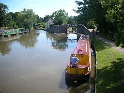
Stratford Canal at Lapworth Junction. Alongside several of the locks in this long flight, the canal has been widened into small reservoirs to help conserve water, though judging by the flow over the weir in the centre of the picture, there is plenty of water coming down the canal. The junction reservoir forms a convenient base to moor private narrowboats between trips.
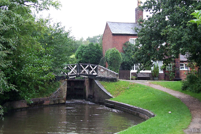
Lapworth Locks No 7, Stratford Canal, Warwickshire. There are 26 locks in the Lapworth flight. On the Stratford Canal, the former stop lock at King's Norton was numbered 1, so Lapworth Top Lock is actually No 2. The 26 locks alter the water level by 158 feet 6.5 inches ( about 52 metres). Bridge No 32 is also seen here.


