Leckhampton Hill
![]()
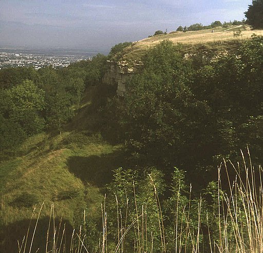
![]() This circular walk takes you along a particularly beautiful section of the Cotswold Way National Trail visiting Leckhampton Hill and Hartley Hill. The walk starts at a parking area next to the A435 about three miles south of the centre of Cheltenham. From here you can pick up the Cotswold Way and follow the track to Charlton Kings Common and Hartley Hill. You cross the hill to to the Devil’s Chimney, an iconic Cotswold landmark. This unusual limestone rock formation stands above a disused quarry in Leckhampton. It's a picturesque spot with fabulous countryside views providing a wonderful backdrop to the chimney. The area of Leckhampton Hill and Charlton Kings Common is a biological and geological Site of Special Scientific Interest and a Key Wildlife Site. Look out for a variety of interesting flora and fauna such as meadow pipit and grasshopper warbler. Rare plants include fly orchid, musk orchid and purple milk-vetch.
This circular walk takes you along a particularly beautiful section of the Cotswold Way National Trail visiting Leckhampton Hill and Hartley Hill. The walk starts at a parking area next to the A435 about three miles south of the centre of Cheltenham. From here you can pick up the Cotswold Way and follow the track to Charlton Kings Common and Hartley Hill. You cross the hill to to the Devil’s Chimney, an iconic Cotswold landmark. This unusual limestone rock formation stands above a disused quarry in Leckhampton. It's a picturesque spot with fabulous countryside views providing a wonderful backdrop to the chimney. The area of Leckhampton Hill and Charlton Kings Common is a biological and geological Site of Special Scientific Interest and a Key Wildlife Site. Look out for a variety of interesting flora and fauna such as meadow pipit and grasshopper warbler. Rare plants include fly orchid, musk orchid and purple milk-vetch.
The walk finishes with a stroll along a country lane which leads back to the start point.
If you would like to extend your walk then you could continue along the Cotswold Way to the delightful Crickley Hill Country Park.
Postcode
GL53 9NG - Please note: Postcode may be approximate for some rural locationsPlease click here for more information
Leckhampton Hill Ordnance Survey Map  - view and print off detailed OS map
Leckhampton Hill Open Street Map  - view and print off detailed map
Leckhampton Hill OS Map  - Mobile GPS OS Map with Location tracking
Leckhampton Hill Open Street Map  - Mobile GPS Map with Location tracking
Pubs/Cafes
The Wheatsheaf is located just to the north of the hill in a convenient spot. It's a very decent pub with good food, a nice large beer garden and an attractive oak pannelled interior with a cosy real fire. The pub has a parking area and is also dog friendly. It's a stones throw from the hill at 283 Old Bath Road with a postcode of GL53 9AJ for your sat navs.
Further Information and Other Local Ideas
Just to the south of the hill you can visit the little village of Birdlip and try the circular Birdlip Walk. This will take you to the nearby Witcombe Reservoirs, the interesting Great Witcombe Roman Villa and then up to the fine viewpoint at Barrow Wake.
Cycle Routes and Walking Routes Nearby
Photos
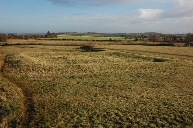
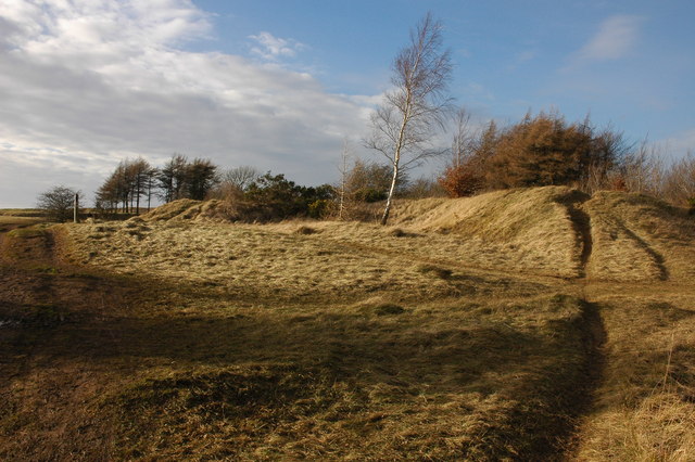
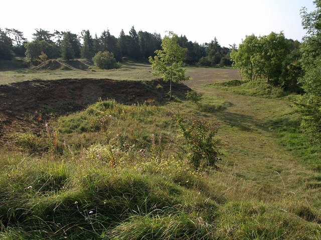
Earthworks on Leckhampton Hill. On the hill like many places on the Cotswold hills there are earthworks, most are irregular in shape, however, these earthworks beside the trig point have a more regular shape.
A toposcope on the hill. Cheltenham dominates the Severn vale below with the Malvern Hills on the horizon. The toposcope is sponsored by the Nixon family in memory of Roger Nixon.
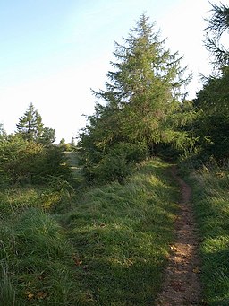
Nature Reserve at the hill. This reserve is in the disused Brownstone Quarry on the less-visited side of Leckhampton Hill, away from the Cotswold scarp. Trees like this larch are maturing alongside areas of more open land. Brownstone Quarry was "a relatively shallow quarry used primarily for the Ragstones which lay on the surface. This type of material was popular for walling in Cheltenham and a small number of buildings. The total area worked over the years extended over more than 10 hectares (25 acres). It was served by a network of tramroads
