Leyburn Shawl Walk
![]()
![]() This circular walk explores the Leyburn Shawl limestone escarpment in Wensleydale. It's an interesting and attractive area with fine views from the elevated position of the Shawl.
This circular walk explores the Leyburn Shawl limestone escarpment in Wensleydale. It's an interesting and attractive area with fine views from the elevated position of the Shawl.
The walk starts from the western side of of the market town of Leyburn, next to Leyburn Hall. From here you can pick up a public footpath heading west up onto the Shawl. Here you'll find woodland sections, benches and open areas with wonderful views across the Yorkshire Dales. It's a good path running for two miles to Tullis Cote. Here you turn south, passing waterfalls, before crossing Wensley Park to enter the little village of Wensley. In the village you can enjoy a stroll down to Wensley Bridge and enjoy nice views of the River Ure.
From Wensley you pick up a footpath heading north east, which will take you back into Leyburn where the route finishes.
To continue your walking in the area you could try our other Leyburn Circular Walk which includes a riverside section along the Ure. Just to the east of the town there's a delightful hidden gem at the Harmby Waterfall or you could try our Middleham Circular Walk.
Leyburn Shawl Walk Ordnance Survey Map  - view and print off detailed OS map
Leyburn Shawl Walk Open Street Map  - view and print off detailed map
Leyburn Shawl Walk OS Map  - Mobile GPS OS Map with Location tracking
Leyburn Shawl Walk Open Street Map  - Mobile GPS Map with Location tracking
Pubs/Cafes
The Three Horseshoes in Wensley is a fine old whitewashed stone pub on the route. There's a nice gazebo outside where you can relax on warmer days and a cosy interior with a neat beamed and flagstoned bar, serving five well kept ales. You can find the pub in the village at a postcode of DL8 4HJ for your sat navs.
Back in Leyburn head to the noteworthy Sandpiper Inn, located in the town's ancient market place. The inn dates right back to the 17th century and includes an attractive interior with wooden beams and fireplaces. They do excellent food and also provide accommodation if you need to stay over. The inn is also dog friendly and can be found at postcode DL8 5AT.
Further Information and Other Local Ideas
The Leyburn to Castle Bolton Circular Walk uses part of the trail to visit the popular Castle Bolton from the nearby market town. The historic 14th century castle is one of the area highlights and includes expansive grounds with lovely gardens, a maze and excellent views from the top of the fortification
Cycle Routes and Walking Routes Nearby
Photos
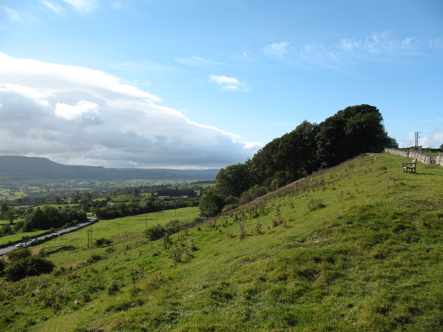
The eastern end of the Shawl, close to Leyburn town. From here there is a fine view across Wensleydale. The Shawl is said to have received its name from the time when Mary Queen of Scots was kept as a prisoner at nearby Bolton Castle. She is reputed to have escaped on a horse, but dropped her shawl on this bank and was soon caught.
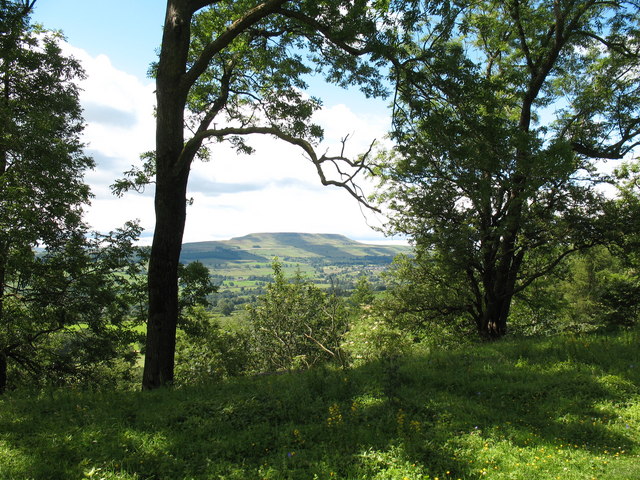
Much of the Shawl is well wooded, but gaps in the trees afford splendid views over Wensleydale, like this one towards Penhill.
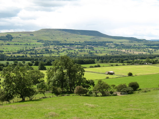
Limestone edge, Leyburn Shawl. For much of its length the Shawl is bounded by limestone crags which overlook the Dales. This view westwards is towards Tullis Cote Farm.


