Llanarmon-yn-Ial Walks
![]()
![]() This Denbighshire based village is located just south of Mold in the limestone valley of the River Alyn.
This Denbighshire based village is located just south of Mold in the limestone valley of the River Alyn.
This walk from the village takes you along a section of the epic Offa's Dyke Path to visit Llandegla Forest and the pretty Pendinas Reservoir.
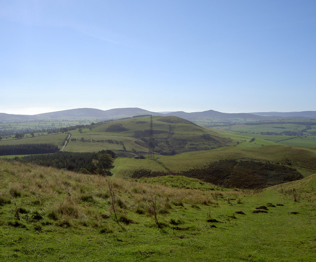
The walk starts in the village and follows footpaths west to Llyn Gweryd, Moel Y Plas and Moel y Gelli. Here you can pick up the Offa's Dyke Path and follow the waymarked footpath south to the neighbouring village of Llandegla where there's a nice section along the River Alyn.
The route then continues into the expansive Llandegla Forest. Here you can enjoy miles peaceful woodland walking and cycling trails.
To continue your walking in the area head north to explore the woodland and river trails at Loggerheads Country Park and the splendid viewpoints at Moel Famau Country Park. These local highlights are within the Clwydian Range where you can enjoy some truly glorious scenery.
Postcode
CH7 4QE - Please note: Postcode may be approximate for some rural locationsLlanarmon-yn-Ial Ordnance Survey Map  - view and print off detailed OS map
Llanarmon-yn-Ial Open Street Map  - view and print off detailed map
Llanarmon-yn-Ial OS Map  - Mobile GPS OS Map with Location tracking
Llanarmon-yn-Ial Open Street Map  - Mobile GPS Map with Location tracking
Walks near Llanarmon-yn-Ial
- Mold - This historic market town in Flintshire has some interesting old buildings, a fine 15th century church and views of the hearby Clwydian Range
- Loggerheads Country Park - Explore the beautiful Clwydian Range and Dee Valley in this stunning country park in Mold
- Moel Famau Country Park - Climb to the top of Moel Famau mountain on this circular walk through the stunning Moel Famau Country Park
- Ruthin Castle - Enjoy a stroll around the grounds of this†medieval†castle in the town of Ruthin, North Wales
- Cilcain - This Welsh village in the Clwydian mountain range is a popular place for walkers
- Maeshafn - This old lead mining village is located in Denbighshire near the Clwydian Range and the border with Flintshire.
- Llanferres - This village is located in Denbighshire and is a great place for exploring the Clwydian Range on foot.
- Llandegla Forest - This large forest near Wrexham is a fantastic place for walking and cycling
- World's End Llangollen - Explore this beautiful narrow vale on this popular circular walk near Llangollen.
- Nant-y-Ffrith - This walk in Wrexham County visits a lovely wooded valley with streams, caves and waterfalls.
- Waun-y-llyn Country Park - Climb to the top of Hope Mountain on this walk through Waun-y-llyn Country Park in Hope, Flintshire.
- Offa's Dyke Path - This incredible 177 mile trail starts on the River Severn Estuary in Gloucestershire in England before taking you over the border into Wales and on through some truly splendid mountainous scenery
Pubs/Cafes
The Raven Inn is a fine community run pub in the village. The pub dates back to 1722 and provides lovely locally sourced food. You can find them at postcode CH7 4QE. They are dog friendly.
Photos
Llyn Gweryd. A natural spring fed lake, provides excellent carp fishing. It is now regarded as one of the leading Carp waters in Wales and is regularly reported in the angling press.


