Llyn Cau
![]()
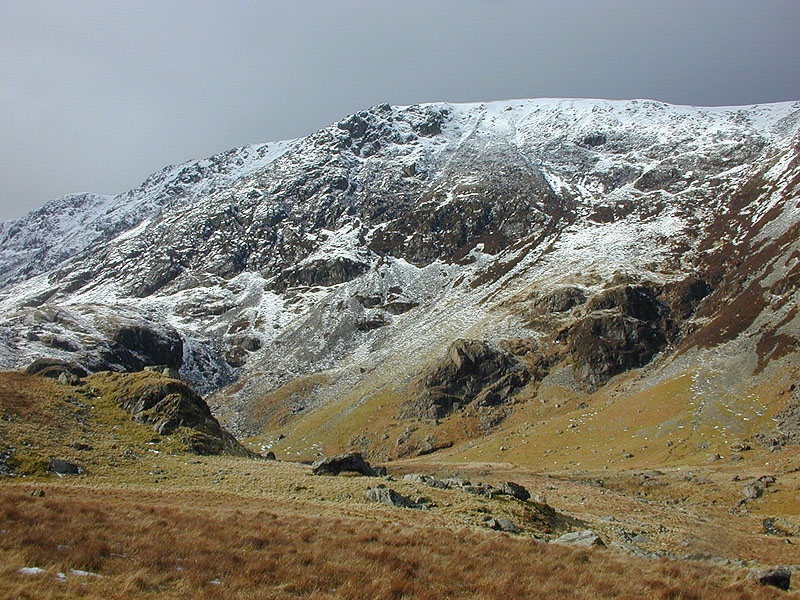
![]() This walk climbs to the beautiful Llyn Cau on the slopes of Cadir Idris in the Snowdonia National Park. While still quite a challenging walk it's not as strenuous as the longer climb to mountain summit. As such it's a great way of exploring the stunning Cadir Idris National Nature Reserve with less stress on the body.
This walk climbs to the beautiful Llyn Cau on the slopes of Cadir Idris in the Snowdonia National Park. While still quite a challenging walk it's not as strenuous as the longer climb to mountain summit. As such it's a great way of exploring the stunning Cadir Idris National Nature Reserve with less stress on the body.
Start your walk from the Dol Idris Car Park at the junction of the A487 & B4405 (postcode: LL36 9AJ ). From here you can pick up the the Minffordd path and follow it up to the lake. You'll enjoy a delightful woodland section before passing the stunning cliffs of Craig Cau. The park then forks with one branch going straight on to the lake and one heading left up to the mountain peak. Go straight on and you will soon come to the glacial lake where there is a lovely circular trail running around the perimiter of the water.
The striking lake is shaped like a crater formed by a cirque glacier during the last ice age when snow and ice accumulated in the corries due to avalanches on higher slopes. It's a wonderful sight so be sure to bring your camera.
After circling the lake descend the same way. At the end of the walk you can enjoy refreshments at the splendid Ty Te Cadair Tea Room where there's outdoor seating with great views.
To extend your walking in area continue up to the summit of Cadair Idris for wonderful views over the Snowdonia National Park to the coast.
Tal-y-llyn Lake is also located very close by.
Postcode
LL36 9AJ - Please note: Postcode may be approximate for some rural locationsLlyn Cau Ordnance Survey Map  - view and print off detailed OS map
Llyn Cau Open Street Map  - view and print off detailed map
Llyn Cau OS Map  - Mobile GPS OS Map with Location tracking
Llyn Cau Open Street Map  - Mobile GPS Map with Location tracking
Further Information and Other Local Ideas
Just a few miles to the south west there's a real gem at Dolgoch Falls. You can follow a wooden walkway to the woodland ravine where you'll find the magical falls. The splendid Talyllyn Railway can also be picked up in this area. The heritage railway will take you to the coast at Tywyn where there is a lovely long beach, sand dunes, a large lake and views of the River Dysynni.
Also nearby there's the worthy village of Abergynolwyn to visit. The historic settlement is located on the heritage Talyllyn Railway and includes pleasant trails along the Nant Gwernol waterfalls to the old Bryn Eglwys Quarry. Near here you can also explore the mediaeval remains of Castell Y Bere.
For more walking ideas in the area see the Snowdonia Walks page.


