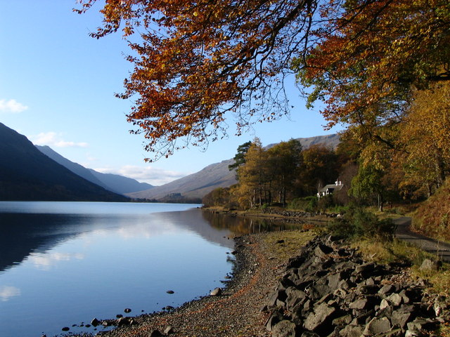
Loch Voil Balquhidder
![]()
![]() This walk visits Loch Voil and Loch Doine from the village of Balquhidder in the Loch Lomond and the Trossachs National Park. There's a nice, quiet country lane heading west from the village to the two beautiful lochs. It's a fairly flat path with some sections running right alongside the water. Along the way there's great views across the still waters to the park's forests, hills and mountains. It's about a 4.5 mile walk to the end of Loch Doine so around 9 miles there and back.
This walk visits Loch Voil and Loch Doine from the village of Balquhidder in the Loch Lomond and the Trossachs National Park. There's a nice, quiet country lane heading west from the village to the two beautiful lochs. It's a fairly flat path with some sections running right alongside the water. Along the way there's great views across the still waters to the park's forests, hills and mountains. It's about a 4.5 mile walk to the end of Loch Doine so around 9 miles there and back.
To continue your walking in the area, head north from the village to the lovely Kirkton Glen. There's some nice woodland trails and views of the surrounding mountains here.
If you head east from the village you can pick up the trackbed of an old railway and head to Loch Earn. The path continues through the lovely Glen Ogle to Killin. On the way you'll enjoy views of the Ogle Burn and the pretty Lochan Lairig Chaile.


