Lough Guitane Walk
![]() This walk visits Lough Guitane in County Kerry near the town of Killarney.
This walk visits Lough Guitane in County Kerry near the town of Killarney.
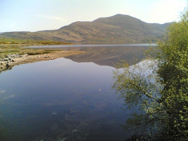
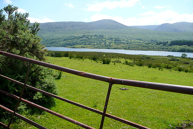
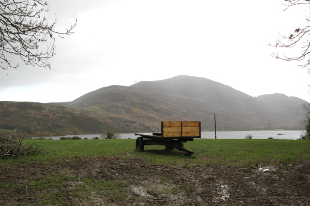
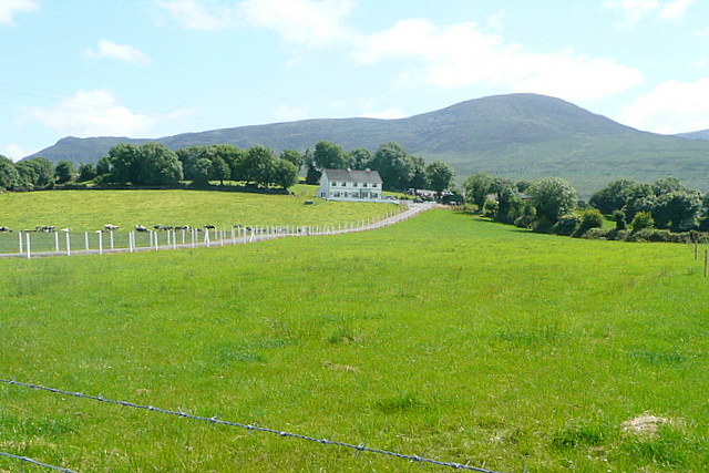
There's a nice walking trail on the eastern side of the lough which you can follow south along the water. Along the way there are splendid views across the lake to the surrounding hills.
The scenic freshwater lake is also located near the Killarney National Park where there are many other good walking options.
For example if you head just a short distance west you could continue your waterside walking at Mucross Lake where there's a fantastic circular trail to try around the deepest lake in Ireland. The 14km walk also visits Lough Leane, another of the famous three Lakes of Killarney. The Lough Leane And Ross Castle Walk visits an historic 15th century castle on the shores of the lough in this area too.
Lough Guitane Open Street Map  - view and print off detailed map
Ireland Walking Map - View All the Routes in the Country>>
Lough Guitane Open Street Map  - Mobile GPS Map with Location tracking
Further Information and Other Local Ideas
Also of interest is the popular climb to Carrauntoohil in the MacGillycuddy's Reeks mountain range. Here you can climb to the highest mountain in Ireland and enjoy some incredible views from the summit.
Head south and you could visit Gougane Barra. Here you'll find some fine woodland trails, a pretty lake and a riverside path with views of the Shehy Mountains.
Cycle Routes and Walking Routes Nearby
Photos
Lough Guitane By The Pumphouse. The lake on a beautiful late spring day. Taken by the pumphouse which uses energy derived from an onsite hydro-electric generator to offset costs.


