Maidencombe Walk
![]()
![]() This pretty coastal village sits justs to the north of Torquay in Devon. The area is still largely rural making it a fine place for a walk away from the busier parts of Torbay.
This pretty coastal village sits justs to the north of Torquay in Devon. The area is still largely rural making it a fine place for a walk away from the busier parts of Torbay.
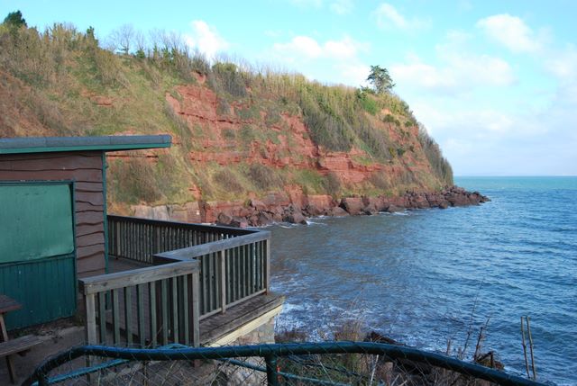
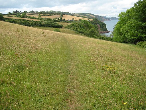
This walk from the village takes you south to visit Watcombe Beach and Oddicombe Beach. On the way there's some wonderful red sandstone cliffs and some classic local views from the high points.
The walk starts from the car park next to the beach where you can pick up the South West Coast Path and follow it south to Shackley Beach, Watcombe Head, St Marychurch and Oddicombe. It's an interesting area with the rare Babbacombe Cliff Railway which will take you down to the secluded beach. There's also the Babbacombe Model village and some fine cliff top views to enjoy here.
Postcode
TQ1 4TS - Please note: Postcode may be approximate for some rural locationsMaidencombe Ordnance Survey Map  - view and print off detailed OS map
Maidencombe Open Street Map  - view and print off detailed map
Maidencombe OS Map  - Mobile GPS OS Map with Location tracking
Maidencombe Open Street Map  - Mobile GPS Map with Location tracking
Walks near Maidencombe
- Cockington Country Park - This is a circular walk around the historic Cockington Country Park and Cockington Village in Torquay, Devon
- Torquay to Brixham - This walk follows the South West Coast Path from Torquay to Brixham via Paignton
- Labrador Bay - This walk visits the lovely Labrador Bay nature reserve and coastal viewpoint near Shaldon in Devon.
- Shaldon - This pretty South Devon village is in a lovely location on the River Teign Estuary
- Torquay Rock Walk - This short walk in Torquay takes you through the Royal Terrace Gardens or Rock Walk.
- Brunel Woods - This walk visits Brunel Woods in the Watcombe area of Torquay.
- Berry Pomeroy Castle - This walk visits Berry Pomeroy Castle near Totnes in Devon
- John Musgrave Heritage Trail - This long distance walk through South Devon follows the John Musgrave Heritage Trail from Maidencombe to Brixham.
Pubs/Cafes
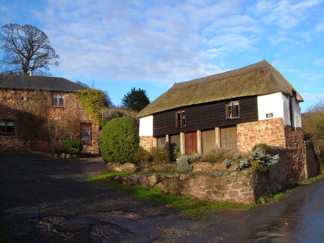
The Thatched Tavern is a splendid place for some post walk rest and refreshment in the village. The historic inn dates back to the 17th century and is set in a low-ceilinged picture postcard thatched house. Inside there's a cosy interior with a log fire for winter days. Outside there's the tranquil landscaped gardens to enjoy on warmer days. You can find them on Steep Hill at postcode TQ1 4TS for your sat navs.
Further Information and Other Local Ideas
The John Musgrave Heritage Trail starts in the village. The long distance trail will take you to some of the historical highlights of South Devon.
Photos
Cliffs at Maidencombe. Looking past the beach cafe, closed at this time of the year, lie the red sandstone cliffs to the north side of Maidencombe beach.


