Malltraeth Walks
![]()
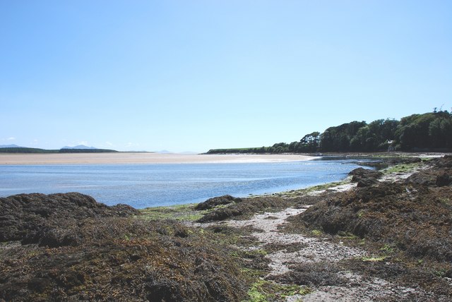
![]() This quiet Anglesey village has some stunning walking paths along the beautiful Maltreath Estuary or Cob Maltraeth.
This quiet Anglesey village has some stunning walking paths along the beautiful Maltreath Estuary or Cob Maltraeth.
This long circular walk from the village takes you south along the River Cefni and Maltreath Sands to Newborough Forest and Llanddwyn Island. You'll then go onto visit the Newborough Warren Nature Reserve and the neighbouring village of Newborough.
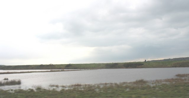
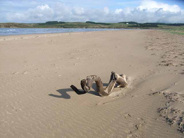
Start the walk in the village and then head east to cross Pont Maltreath over the river. You can then pick up a footpath heading south past the wildlife pool into the forest. Here you can enjoy miles of walking and cycling trails leading down to the coast at Llanddwyn Island where you can see the ruins of St Dwynwen's Church and the Twr Mawr lighthouse. There's also sand dunes, beaches and lots of coastal wildlife to see here.
The route then heads north through the forest before heading south east to explore Newborough Warren. This section is optional and should only be attempted if the tidal conditions are appropriate.
The route then visits Newborough village before heading up to the River Cefni where you can pick up a final riverside path to take you back to Maltreath.
Malltraeth Ordnance Survey Map  - view and print off detailed OS map
Malltraeth Open Street Map  - view and print off detailed map
Malltraeth OS Map  - Mobile GPS OS Map with Location tracking
Malltraeth Open Street Map  - Mobile GPS Map with Location tracking
Further Information and Other Local Ideas
The Lon Las Cefni Cycle Route runs through the village. You could follow the trail north east along the Afon Cefni to visit Cefni Reservoir or south toward Newborough Forest. Much of the route is traffic free so also suitable for walkers.
Cycle Routes and Walking Routes Nearby
Photos
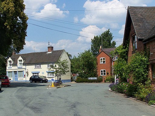
The High Street, Malltraeth. The village began life as a camp for workers engaged in draining the marshland and maps up to the 1960s name the village as "Malltraeth Yard".


