Malmesbury Abbey and River Walk
![]()
![]() A circular walk around the Wiltshire town of Malmesbury visiting the historic abbey and the River Avon. It's a very attractive town with numerous historic buildings, a photogenic market cross and picturesque river scenes to enjoy.
A circular walk around the Wiltshire town of Malmesbury visiting the historic abbey and the River Avon. It's a very attractive town with numerous historic buildings, a photogenic market cross and picturesque river scenes to enjoy.
The walk starts at the 12th century abbey which has a history stretching back to the 7th century. It's one of the premium attractions in the county with stunning architecture and a fascinating history. You can also visit the Abbey House Gardens which cover 5 acres and have some fine topiary.
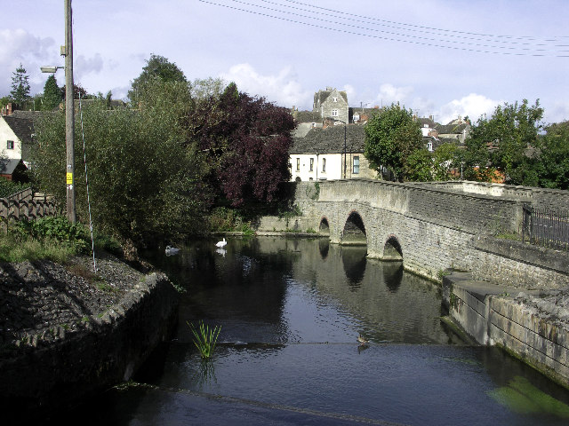
Head north past the Cloister Gardens and you will soon come to the Tetbury Branch of the River Avon. You can follow a series of nice riverside paths around the town before returning to the centre. Here you will pass the noteworthy Malmesbury Market Cross. The cross was built in the 15th century possibly using stone salvaged from the recently ruined part of the abbey. There's also a number of 16th-century almshouses and the medieval Tower House. It contains a high-roofed main hall where it is said Henry VIII dined after hunting in nearby Bradon Forest.
Just south east of the town you can also link up with the Little Somerford and Lea Circular Walk.
Malmesbury Abbey and River Walk Ordnance Survey Map  - view and print off detailed OS map
Malmesbury Abbey and River Walk Open Street Map  - view and print off detailed map
*New* - Walks and Cycle Routes Near Me Map - Waymarked Routes and Mountain Bike Trails>>
Malmesbury Abbey and River Walk OS Map  - Mobile GPS OS Map with Location tracking
Malmesbury Abbey and River Walk Open Street Map  - Mobile GPS Map with Location tracking
Pubs/Cafes
Close to the abbey you'll find the noteworthy Old Bell Hotel. The Grade I listed inn is England’s oldest hotel, dating all the way back to the 13th century. They serve high quality food which you can enjoy in the beautiful garden area if the sun is shining. You can find them on Abbey Row, with a postcode of SN16 0BW for your sat navs.
Dog Walking
You are asked to please keep dogs on a short lead in the abbey house gardens. The Old Bell mentioned above is dog friendly in the bar area.
Further Information and Other Local Ideas
To extend your walking in the area you could pick up the Palladian Way long distance footpath which runs through the town. If you follow it north it will take you through the countryside to Shipton Wood and Long Newnton. Near here you can visit the Cotswolds town of Tetbury and visit the splendid Westonbirt Arboretum. The arboretum is located just a few miles west of Malmesbury and is a stunning sight in the autumn months.
Heading south along the Palladian Way will take you to Malmesbury Common, Corston and Hullavington.
Also near the town you will find Castle Combe, Cotswold Water Park and the Badminton House and Estate. There's more great walking opportunities to be found here.
For more walking ideas in the area see the Wiltshire Walks page.
Cycle Routes and Walking Routes Nearby
Photos
Malmesbury and the River Avon. Both the Abbey and St Paul's steeple can be seen on the skyline, the Sherston Branch of the River Avon is in the foreground.
The Old Bell Inn from Malmesbury Abbey. The viewpoint is just in front of the south porch of the 12th century abbey. The abbey has had its ups and down but was restored about 100 years ago. The Old Bell is a relatively recent building dating to the early 13th century.
The present abbey dates from the 12th century, and was consecrated about 1180, however, previously a monastery was established on the site around 676 by Aldhelm.


