Marloes Sands Walk
![]()
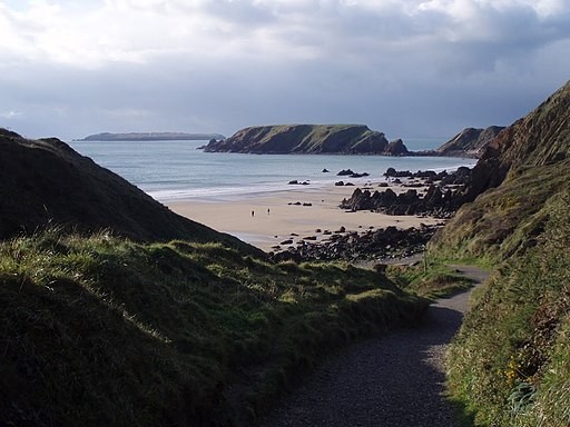
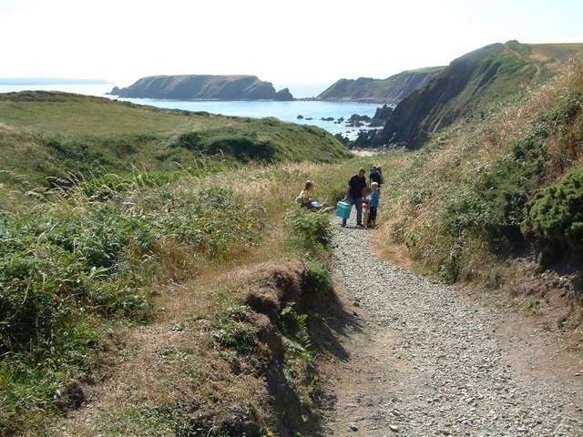
![]() This short circular walk visits the beautiful Marloes Peninsula on the Pembrokeshire Coast. The National Trust managed area also includes Marloes Mere and the lovely beaches of Marloes Sands. There's great views towards Gateholme Island and Skomer Island with attractive coastal vegetation including heather and gorse. There's also lots of interesting wildlife with Welsh Mountain ponies, various sea birds and seal pups to look out for.
This short circular walk visits the beautiful Marloes Peninsula on the Pembrokeshire Coast. The National Trust managed area also includes Marloes Mere and the lovely beaches of Marloes Sands. There's great views towards Gateholme Island and Skomer Island with attractive coastal vegetation including heather and gorse. There's also lots of interesting wildlife with Welsh Mountain ponies, various sea birds and seal pups to look out for.
The walk starts from the National Trust car park just to the west of Marloes village. From here you can pick up the footpath heading west past the pretty mere, where you can look out for various birds from the hide. The path continues to the coast where you pick up the coast path to Marloes Sands. After passing along the sands you can pick up another path to take you back through the countryside to the car park.
The sands are on the Pembrokeshire Coast Path so you can easily extend your walk by picking up the trail. Heading north west will take you past a series of pretty bays to Martin's Haven. Here you can catch a boat to Skomer Island where you can look out for a huge variety of wildlife including Puffins, Manx Shearwaters, Dolphins, Harbour Porpoises, Razorbills, Gannets and Fulmars.
Head a short distance to the east and you will soon come to the lovely Dale Peninsula where you can visit St Ann's lighthouse and Dale Fort.
Marloes Sands Ordnance Survey Map  - view and print off detailed OS map
Marloes Sands Open Street Map  - view and print off detailed map
Marloes Sands OS Map  - Mobile GPS OS Map with Location tracking
Marloes Sands Open Street Map  - Mobile GPS Map with Location tracking
Further Information and Other Local Ideas
Head north along the coast path and you could visit the quaint villages of Little Haven and Broad Haven. There's a lovely blue flag beach, natural arches and a fine beach front bar to visit.


