Mawddach Trail
![]()
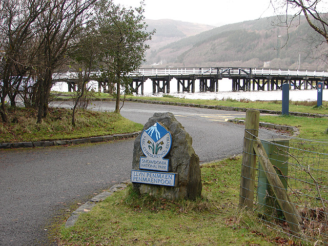
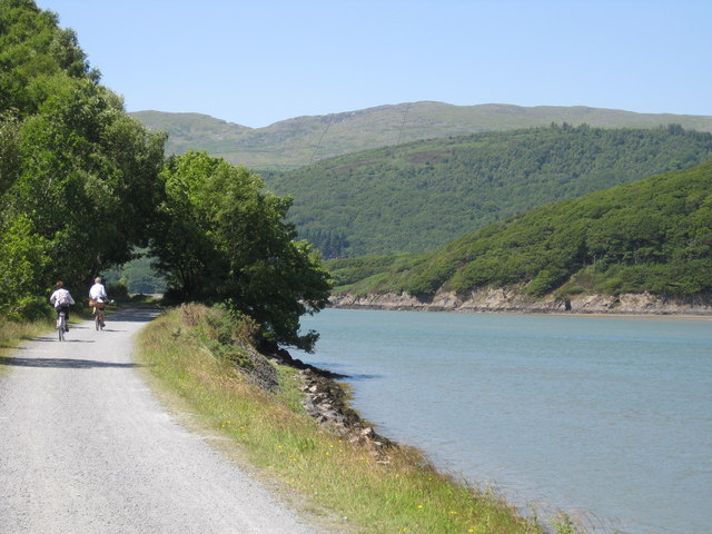
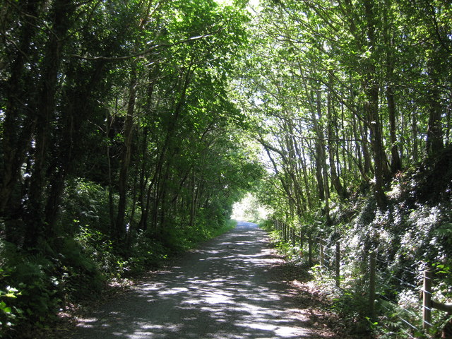
![]() This splendid cycling and walking trail takes you along the old Ruabon to Barmouth railway line on excellent paths. The route runs for about 9 miles from the coastal town of Barmouth to Dolgellau, through the Snowdonia National Park. You start by crossing the Barmouth Bridge over the lovely River Mawddach estuary on the coast of Cardigan Bay. The route then runs right alongside the estuary to Penmaenpool Bridge where you can stop for some riverside refreshments. The final stretch continues along the river to the historic town of Dolgellau. It's a beautiful trail with lots of bird watching opportunities around the estuary. The nearby Cadair Idris makes for a wonderful backdrop for the whole of the route. It's also a very flat trail so it's perfect for people of all abilities.
This splendid cycling and walking trail takes you along the old Ruabon to Barmouth railway line on excellent paths. The route runs for about 9 miles from the coastal town of Barmouth to Dolgellau, through the Snowdonia National Park. You start by crossing the Barmouth Bridge over the lovely River Mawddach estuary on the coast of Cardigan Bay. The route then runs right alongside the estuary to Penmaenpool Bridge where you can stop for some riverside refreshments. The final stretch continues along the river to the historic town of Dolgellau. It's a beautiful trail with lots of bird watching opportunities around the estuary. The nearby Cadair Idris makes for a wonderful backdrop for the whole of the route. It's also a very flat trail so it's perfect for people of all abilities.
Highlights on the route include the little village of Arthog where you could take a small detour to visit the Arthog Waterfalls. The series of pretty falls run along a stream to the south east of the trail, just before you cross the estuary into Barmouth.
To extend your walking in the Barmouth area try the Panorama Walk.
The circular trail climbs above the town for excellent views back down to the estuary. The walk includes a visit to the Dinas Oleu hill fort as well.
Mawddach Trail Ordnance Survey Map  - view and print off detailed OS map
Mawddach Trail Open Street Map  - view and print off detailed map
*New* - Walks and Cycle Routes Near Me Map - Waymarked Routes and Mountain Bike Trails>>
Mawddach Trail OS Map  - Mobile GPS OS Map with Location tracking
Mawddach Trail Open Street Map  - Mobile GPS Map with Location tracking
Pubs/Cafes
At the end of the route in Dolgellau you could enjoy some post exercise refreshments at the Royal Ship Hotel. The 19th century coaching inn does good food and also has a nice beer garden for warmer days. You can find the pub on Queen's Square at a postcode of LL40 1AR for your sat navs.
Dog Walking
The trail is a great place to take your dogs for a walk. It's probably best to keep them on leads for most of the way as there are usually quite a few cyclists. The Royal Ship Hotel mentioned above is also dog friendly.
Further Information and Other Local Ideas
Just to the east of Dolgellau you can pick up the circular Torrent Walk which explores the Afon Clywedog gorge with its old mills, pretty waterfalls and rushing weirs.
Cycle Routes and Walking Routes Nearby
Photos
A small ex-railway bridge at Garth Isaf. Now forms part of the Mawddach Trail. Another reminder of the past railway history here is the group of old telegraph poles visible on the right-hand side of the track.
On the platform at Morfa Mawddach Station. The platform now separates the car park and the cycle trail (on the right of the platform). The station, which was formerly known as Barmouth Junction, once had five platforms - more than any other station in Wales apart from Cardiff and Swansea.


