Milton Country Park
![]()
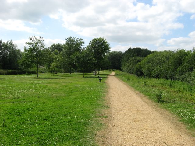
![]() This lovely park in Cambridge boasts nearly 100 acres of lakes and gardens interlaced with footpaths and cycle trails. The Park includes a Visitor Centre with cafe, play-areas, viewing platforms and a sensory garden.
This lovely park in Cambridge boasts nearly 100 acres of lakes and gardens interlaced with footpaths and cycle trails. The Park includes a Visitor Centre with cafe, play-areas, viewing platforms and a sensory garden.
The park can be reached by following the River Cam and the Fen Rivers Way from the centre of Cambridge. This section also makes for a lovely traffic free cycle ride.
To extend your walkin in the area you can try our circular Cambridge Backs Walk which takes you on a tour of the famous university colleges.
Postcode
CB24 6AZ - Please note: Postcode may be approximate for some rural locationsPlease click here for more information
Milton Country Park Ordnance Survey Map  - view and print off detailed OS map
Milton Country Park Open Street Map  - view and print off detailed map
Milton Country Park OS Map  - Mobile GPS OS Map with Location tracking
Milton Country Park Open Street Map  - Mobile GPS Map with Location tracking
Further Information and Other Local Ideas
The Waterbeach Walk visits the park from the train station in the nearby village. It's a nice way of coming to the park using public transport and the riverside trail along the Cam. There's also a fine waterside pub to visit in the village at the end of the walk.
Just to the north is the delightful Wicken Fen. The nature reserve is a great place for walking and cycling with flowering meadows, reedbeds, waterways and an abundance of wildlife to see. The Lodes Way can also be picked up here. This circular walk or cycle follows National Cycle Route 11 through the Cambridgeshire Lodes, a series of ancient man made waterways created to link a series of Fenland villages to the River Cam. On the way it visits the Jacobean mansion of Anglesey Abbey. The historic site includes some beautiful gardens with ornate statues and herbaceous borders.
The circular Soham Walk starts from the nearby town. It visits Wicken Fen before heading north along the river to link up with another waterside path along Soham Lode.
For more walking ideas in the area see the Cambridgeshire Walks page.
Cycle Routes and Walking Routes Nearby
Photos
Milton Country Park lake. South end of Dickerson's Pit, formed between 1930 and 1960 by the extraction of sand and gravel, for building roads and houses.
VE Day anniversary memorial stone in Milton County Park. Erected in 1995 to mark the 50th anniversary of VE day, with references to the D-Day landings around the base. It's triangular in cross-section, with the text dropping down one level on one of the three sides (the left in the picture) to enable a continuous run of text from top to bottom.


