Moelfre to Lligwy Beach Walk
![]()
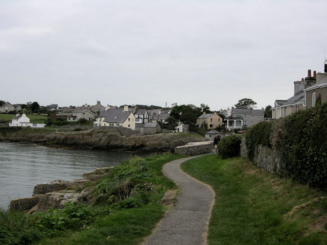
![]() This walk takes you from the village to the nearby beach at Lligwy Bay. It's about a two mile walk from the village to the beach, so 4 miles there and back. The footpath is pretty flat for the whole of the route and follows the waymarked Anglesey Coast Path.
This walk takes you from the village to the nearby beach at Lligwy Bay. It's about a two mile walk from the village to the beach, so 4 miles there and back. The footpath is pretty flat for the whole of the route and follows the waymarked Anglesey Coast Path.
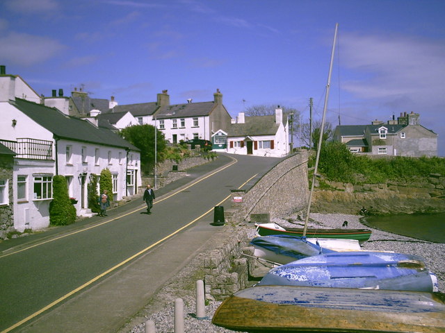
The walk starts at Porth Moelfre where there is a small beach and a row of pretty cottages. You head north from here towards Ynys Moelfre, a picturesque little island just of the coast of the village.
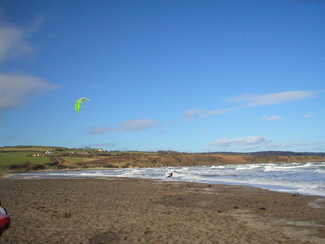
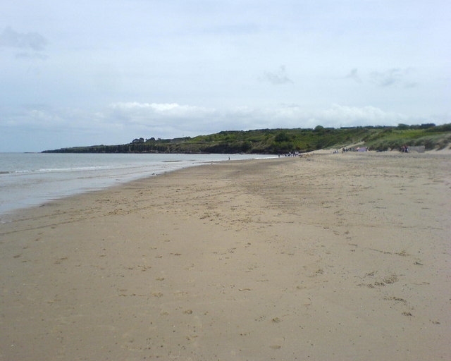
From here you head west along the path to Lligwy Bay. There's a lovely beach here which is popular with windsurfers and other windpowered watersport enthusiasts.
After enjoying the beach the walk return to Moelfre on the same paths.
Moelfre to Lligwy Beach Walk Ordnance Survey Map  - view and print off detailed OS map
Moelfre to Lligwy Beach Walk Open Street Map  - view and print off detailed map
*New* - Walks and Cycle Routes Near Me Map - Waymarked Routes and Mountain Bike Trails>>
Moelfre to Lligwy Beach Walk OS Map  - Mobile GPS OS Map with Location tracking
Moelfre to Lligwy Beach Walk Open Street Map  - Mobile GPS Map with Location tracking
Walks near Moelfre to Lligwy Beach Walk
- Anglesey Coast Path - Follow the beautiful coastline of the Isle of Anglesey on the fabulous walk
- Benllech to Moelfre Coastal Path - This walk follows a lovely section of the Anglesey Coast Path from Benllech to Moelfre
- Red Wharf Bay - This walk uses part of the Anglesey Coast Path to explore this expansive sandy bay located on the east coast of Anglesey
- Penmon Point - This walk on Penmon Point visits the Trwyn Du Lighthouse where you can enjoy lovely views towards Puffin Island, Great Orme and Snowdon
- Mynydd Bodafon - This walk climbs to Mynydd Bodafon on the eastern side of the Isle of Anglesey.
- Pentraeth - This village in Anglesey is a fine place to start a walk with coast, woodland and a fine 1700s pub to visit.
- Benllech to Red Wharf Bay Walk - This walk takes you along a section of the Anglesey Coast Path from the village of Benllech to Red Wharf Bay Bay.
Pubs/Cafes
Back in Moelfre head to the Kimmel Arms, for some refreshments. The pub sits close to a small shingle beach and has fantastic, panoramic views of Moelfre Bay. The pub has a good menu and is also dog friendly with treats at the bar for your pet! You can find the pub at 8 Maes Hyfryd with a postcode of LL72 8HN for your sat navs.
Further Information and Other Local Ideas
To continue your walking from Moelfre try the Benllech to Moelfre Walk which heads south from the village. Benllech has an award winning beach with views to the Great Orme and Penmon Point. You can also pick up the Benllech to Red Wharf Bay Walk here and visit the popular bay with its interesting rock formations.
Just to the west you'll find the noteworthy Mynydd Bodafon, the highest point on the Island of Anglesey. There are great views over the island from the 178 metre high summit.
Head north along the coast and you will come to Amlwch. The coastal town is well worth exploring with a visit to the Copper Kingdom visitor centre in Port Almwch recommended. Here you can learn all about the history of Amlwch's 18th century “Copper Rush” in a series of interesting exhibitions. The splendid Amlwch Walk will take you along the coast to the historic lighthouse and viewpoint at Point Lynas. To the west there's also the beautiful neighbouring village of Bull Bay, the most northerly village in Wales.
On the southern edge of the lovely Red Wharf Bay, is the Pentraeth Forest where you can enjoy peaceful woodland trails, climb to Mynydd Llwydiarth and look out for the resident red squirrels.
For more walking ideas in the area see the Anglesey Walks page.


