Mouldon Hill Country Park
![]()
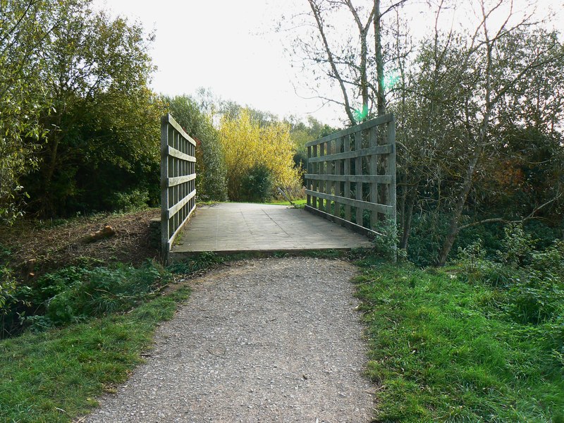
![]() This pretty country park near Swindon has some nice footpaths to follow through the site. In the park you'll find a pretty lake, the River Ray, a section of the North Wilts Canal and nice views from the high points.
This pretty country park near Swindon has some nice footpaths to follow through the site. In the park you'll find a pretty lake, the River Ray, a section of the North Wilts Canal and nice views from the high points.
You can cycle to the park from Swindon along National Cycle Route 45. To continue your exercise you could visit the nearby Lydiard Country Park. Here you'll find 260 acres of lawns, woodlands and pasture to walk or cycle through.
If you head south from the park you will soon come to Shaw Forest Park where footpaths will take you through ash/willow woodlands and scrub land containing juniper and alder. Our circular Swindon Cycle Route visits all these parks using signed cycle routes which run through the town.
Postcode
SN25 1WR - Please note: Postcode may be approximate for some rural locationsMouldon Hill Country Park Ordnance Survey Map  - view and print off detailed OS map
Mouldon Hill Country Park Open Street Map  - view and print off detailed map
Mouldon Hill Country Park OS Map  - Mobile GPS OS Map with Location tracking
Mouldon Hill Country Park Open Street Map  - Mobile GPS Map with Location tracking
Further Information and Other Local Ideas
To the west there's neighbouring Wootton Bassett where you could visit the Jubilee Lake Nature Reserve on the northern side of the town. There's some pleasant waterside footpaths with lots of wildlife to see here.


