Muker Meadows Walk
![]()
![]() This walk explores the beautiful Hay Meadows around the village of Muker in the Yorkshire Dales.
This walk explores the beautiful Hay Meadows around the village of Muker in the Yorkshire Dales.
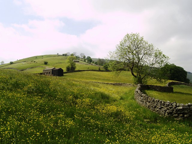
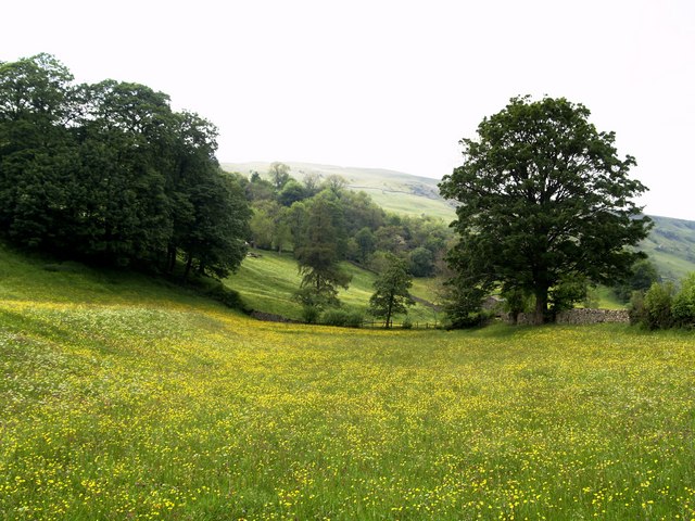
In the summer months they are covered with lovely wildflowers which attract a variety of wildlife.
The walk starts in the village and then picks up a pleasant footpath heading north through the meadows to the River Swale. Along the way you will pass old barns and enjoy some fine views of the surrounding countryside and hills.
You can extend your outing on the Muker to Keld Walk which will take you along the river to nearby Keld.
Muker Meadows Ordnance Survey Map  - view and print off detailed OS map
Muker Meadows Open Street Map  - view and print off detailed map
Muker Meadows OS Map  - Mobile GPS OS Map with Location tracking
Muker Meadows Open Street Map  - Mobile GPS Map with Location tracking
Further Information and Other Local Ideas
Many of the upland hay meadows surrounding the village of Muker are either rich in species or are part of hay meadow restoration efforts.
These meadows are in active use, privately owned, and some are safeguarded as part of the Muker Meadows Site of Special Scientific Interest (SSSI) and the Northern Pennine Dales Meadows Special Area of Conservation (SAC). The Muker area offers one of the best opportunities to view upland hay meadows from public rights of way within the Yorkshire Dales National Park, as several public footpaths lead directly through these beautiful environments.
The prime time to witness the splendor of the meadows, as well as similar ones in Langstrothdale, Swaledale, Dentdale, and Wharfedale, is a brief period between late May and early July. During this time, after grazing animals are removed and before hay cutting, a variety of wildflowers bloom in these habitats. These include common species like meadow buttercup and red clover, less common ones such as bistort and eyebright, and even specialist upland hay meadow plants like globeflower and melancholy thistle. Accompanying these flowers are hay meadow grasses such as sweet vernal grass and crested dog’s-tail. This diversity of plants characterises the nationally scarce upland hay meadow habitat. The Hay Time project is focused on restoring these species-rich meadows within the Yorkshire Dales National Park and enhancing public appreciation and understanding of these unique grasslands.
As hay is a vital fodder crop for livestock, it's important to adhere to guidelines when visiting. This includes sticking to public footpaths, walking single file across meadows, avoiding trampling the hay, and complying with the Countryside Code. Dog walkers should keep their pets under close control, preferably on a lead, and ensure to clean up after them. Muker is encircled by a network of pathways for visitors to explore.
Cycle Routes and Walking Routes Nearby
Photos
Muker Meadows wildflowers in June. The flower-rich hay meadows around Muker are of international importance and are carefully protected. Farmers receive grants which allow them to farm the land by traditional methods, without using artificial fertilizers.


