Mylor Bridge Circular Walk
![]()
![]() This pretty village sits close to the Fal Estuary in the Cornwall Area of Outstanding Natural Beauty. The village lies just to the north of the larger settlements of Falmouth and Penryn.
This pretty village sits close to the Fal Estuary in the Cornwall Area of Outstanding Natural Beauty. The village lies just to the north of the larger settlements of Falmouth and Penryn.
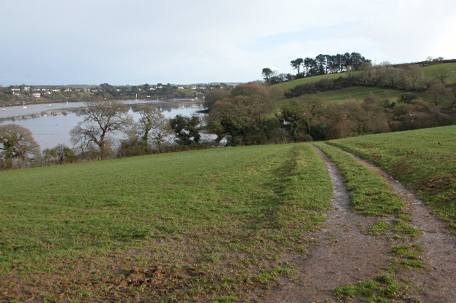
This circular walk from the village takes you along the coastal path to Mylor Creek, Greatwood Quay and the Restronguet Creek. On the walk there's lovely waterside paths with lots of boats, weirs and attractive countryside to see along the way.
The walk starts in the village and heads south along Mylor Creek, passing Trelew and Mylor Churchtown on the opposite side of the water. You continue round to Greatwood Quay and Restronguet Passage where there is a quay and the splendid Pandora Inn. Here you pick up footpaths along Restronguet Creek towards Halwyn where you turn inland to Angarrick. From here you head south to return to the village.
Mylor Bridge Ordnance Survey Map  - view and print off detailed OS map
Mylor Bridge Open Street Map  - view and print off detailed map
Mylor Bridge OS Map  - Mobile GPS OS Map with Location tracking
Mylor Bridge Open Street Map  - Mobile GPS Map with Location tracking
Pubs/Cafes
At Restronguet Passage be sure to stop of at the award winning Pandora Inn. The historic pub dates back to the 13th century and includes flagstone floors, low-beamed ceilings and a thatched roof. There's a fantastic waterside seating area where you can enjoy a great view of the creek with your meal.
Cycle Routes and Walking Routes Nearby
Photos
Mylor Bridge. The village probably grew up around the bridge which is at the head of Mylor Creek and the lowest crossing point. This photograph looks from the south, over the bridge to the heart of the village.
Stepping stones across Mylor Creek. The stepping stones provide a short-cut (at low tide) from Trevellan Road to the recreation ground and Waterings Road. Oddly, the path across the recreation ground is recorded as a public footpath, but the stepping stones and passage to Trevellan Road are not: or at least, this would be odd anywhere but in Cornwall, where this sort of anomaly is routine.
Greatwood Quay. The quay is accessible by boat and from a footpath which runs from Mylor Bridge to Restronguet Weir. The yacht belongs to BATS - Blind at Sea, a local charity whose enthusiastic crews can often be found sailing in the estuary.
Weir. Restronguet Passage. This was the original home of Restronguet Sailing Club before moving to more spacious facilities near Mylor. (Restronguet - rhymes with bucket)


