Mynydd Du Forest
![]()
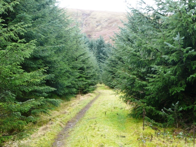
![]() This large area of woodland in the Black Mountains has miles of forest tracks suitable for walking and mountain biking. The waters of the Grwyne Fawr run through the woods so there is the option of a waterside walk to the nearby Grwyne Fawr Reservoir along the river. You can start your exercise from the Mynydd Du car park at the northern end of the woods, a few miles west of the splendid Llanthony Priory. It's situated in a nice spot at the end of a country lane just next to the river. From here you can pick up the forest trails through the western side of the woods before crossing the river at Pont Cadgwan and returning on the eastern side of the river. There's lots of attractive trees and plants and some steep climbs with great views of the surrounding hills. The riverside sections are lovely too with lots of pretty waterfalls to enjoy.
This large area of woodland in the Black Mountains has miles of forest tracks suitable for walking and mountain biking. The waters of the Grwyne Fawr run through the woods so there is the option of a waterside walk to the nearby Grwyne Fawr Reservoir along the river. You can start your exercise from the Mynydd Du car park at the northern end of the woods, a few miles west of the splendid Llanthony Priory. It's situated in a nice spot at the end of a country lane just next to the river. From here you can pick up the forest trails through the western side of the woods before crossing the river at Pont Cadgwan and returning on the eastern side of the river. There's lots of attractive trees and plants and some steep climbs with great views of the surrounding hills. The riverside sections are lovely too with lots of pretty waterfalls to enjoy.
If you would like to continue your walking in the area then you could climb the nearby Waun Fach. It is the highest mountain in the Black Mountains and located just a few miles north west of the forest. From here you can pick up the Dragons Back circular walk which provides magnificent views over the area. The climb to Mynydd Troed and Cockit Hill from Pengenffordd is also located in this area.
Just to the north of the car park is the lovely Grwyne Fawr Reservoir. You can follow a riverside path right to the water from the same start point as this walk.
Postcode
NP7 7LY - Please note: Postcode may be approximate for some rural locationsMynydd Du Forest Ordnance Survey Map  - view and print off detailed OS map
Mynydd Du Forest Open Street Map  - view and print off detailed map
Mynydd Du Forest OS Map  - Mobile GPS OS Map with Location tracking
Mynydd Du Forest Open Street Map  - Mobile GPS Map with Location tracking
Explore the Area with Google Street View 
Cycle Routes and Walking Routes Nearby
Photos
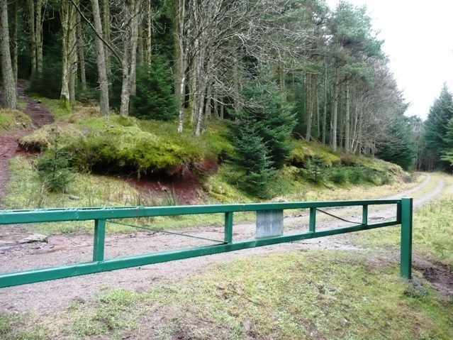
Barrier in Mynydd Du Forest. The square virtually is wholly forestry. Walking and cycling is encouraged, with good access from a car park near the head of the valley. Mountain biking is popular, as evidenced by the trail coming down from the left. The gate is to deter cyclists from rushing across the road and off down another trail to the right.
Gwryne Fawr. The river that forms the main drainage for this valley of the same name. This is about two miles below its reservoir near the car park at the head of the valley road.


