Nacton Shores
![]()
![]() Enjoy a lovely waterside stroll along Nacton Shores on this easy walk in Suffolk. You can park at the car park on Shore Lane, near Orwell School to start your walk. From here you can pick up footpaths along the River Orwell with its nice beach and views across the river. You can follow the path all the way to the Levington Lagoon Nature Reserve at the eastern end of the shore.
Enjoy a lovely waterside stroll along Nacton Shores on this easy walk in Suffolk. You can park at the car park on Shore Lane, near Orwell School to start your walk. From here you can pick up footpaths along the River Orwell with its nice beach and views across the river. You can follow the path all the way to the Levington Lagoon Nature Reserve at the eastern end of the shore.
To extend your walk you can continue along the riverside path to Trimley Marshes Nature Reserve. Here you'll find a splendid circular trail taking you to lakes and lagoons with a huge variety of water loving wildlife to look out for. The path will eventually take you into Felixstowe.
You could also pick up the Suffolk Coast Path and head north west towards Nacton village before coming to Orwell Country Park. This large riverside park on the outskirts of Ipswich has some nice woodland walking trails to try.
Nacton Shores Ordnance Survey Map  - view and print off detailed OS map
Nacton Shores Open Street Map  - view and print off detailed map
Nacton Shores OS Map  - Mobile GPS OS Map with Location tracking
Nacton Shores Open Street Map  - Mobile GPS Map with Location tracking
Further Information and Other Local Ideas
For a longer route you could try the circular Levington Walk which starts from the nearby village and visits Levington Creek and Nacton Shores. In the village there's also an historic 16th century church and a 14th century pub for refreshment.
For more walking ideas in the area see the Suffolk Walks page.
Cycle Routes and Walking Routes Nearby
Photos
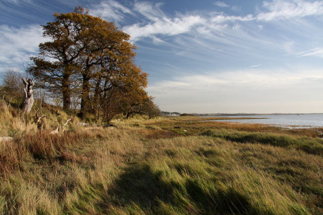
River Orwell foreshore at Nacton Known locally as 'Nacton Shore', the foreshore is a popular place to stroll along the banks of the River Orwell. A nearby car park makes the area easily accessible.
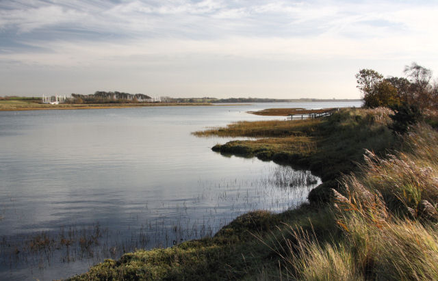
Levington Creek at the eastern end of the route. Looking back towards the River Orwell from the west bank of the creek. In the distance are the masts of yachts at the Suffolk Yacht Harbour.
Widgeon in Levington Creek. These birds over-winter on the River Orwell and here at Levington Creek. The creek is a nice place for birdwatching so it's a good idea to bring some binoculars with you on the walk.
Old river bank defences. It appears from this photo that the bank of the River Orwell has retreated over the years. The line of posts was probably intended to anchor the bank, but there is now some 15 metres of stone and shingle between these posts and the present river bank. The colouration of the soil indicates the normal tidal range; at high water springs the tide rises past these posts. It is when the high tides are coupled with stormy weather that the banks are eroded. This side of the river is very exposed to prevailing westerly winds.


