Nantwich Riverside Loop
![]()
![]() This waterside route in Nantwich uses sections of the River Weaver and the Shropshire Union Canal to create a circular walk through the western part of the town.
This waterside route in Nantwich uses sections of the River Weaver and the Shropshire Union Canal to create a circular walk through the western part of the town.
It's about a 3 mile walk along fairly flat footpaths, passing close to the Dorfold Hall Jacobean mansion on the western canalside section.
There's lovely rural views and long easy waterside paths to enjoy on this pleasant route. Other highlights include the pretty Nantwich Lake, the 1803 Nantwich Bridge and the splendid 19th century Nantwich Aqueduct which carries the Shropshire Union Canal over the Chester to Nantwich road. Along the way you can also look out for a variety of water loving wildlife.
The walk is signposted with information boards along the way.
The southern part of the walk uses a section of the Crewe and Nantwich Circular Walk. You could pick up this longer waymarked route to explore the surrounding countryside further.
Nantwich Riverside Loop Ordnance Survey Map  - view and print off detailed OS map
Nantwich Riverside Loop Open Street Map  - view and print off detailed map
Nantwich Riverside Loop OS Map  - Mobile GPS OS Map with Location tracking
Nantwich Riverside Loop Open Street Map  - Mobile GPS Map with Location tracking
Cycle Routes and Walking Routes Nearby
Photos
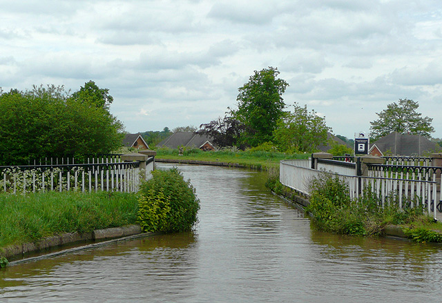
Nantwich Aqueduct, Shropshire Union Canal, Cheshire. This aqueduct owes its existence to the refusal of the owner of Dorfield Park in the 1820s to allow the canal from the south to cross his land to the existing Nantwich Basin. That meant the construction of a long high embankment round the park and this cast iron aqueduct over the main road. Designed by Thomas Telford, it dates from around 1826 and is listed at grade II*.
Recreational land by the Weaver. An extensive area of recreational land with grass and mature trees lies between the River Weaver and Shrewbridge Road, to the south west of Nantwich. There are several pools, possibly formerly tributaries of the Weaver. Cycle paths run through, providing safe routes into the centre of Nantwich
River Weaver at Queens Drive Meadows. View north from the pedestrian/cycle bridge. One of the several cycle paths on Queens Drive Meadows is visible on the left
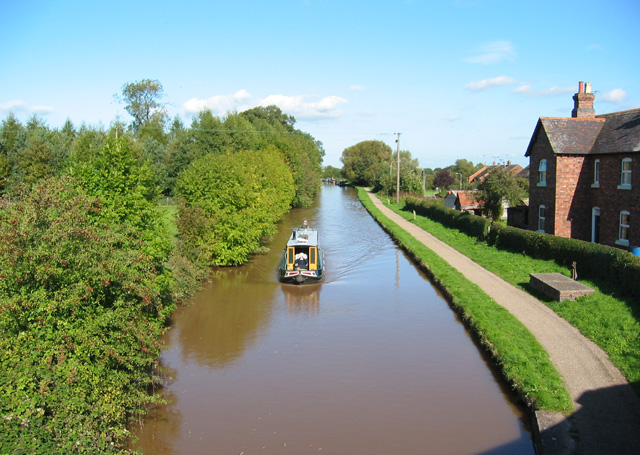
Shropshire Union Canal, SW of Nantwich. The main line of the Shropshire Union forms a western boundary to the town of Nantwich. The belt of conifer trees on left of frame are part of a small linear plantation. The large brick house on the right considerably pre-dates the housing estate to its east. View north from the bridge on Marsh Lane (to Ravensmoor)


