Newark Park
![]()
![]() Explore the 700 acre estate of this Grade I listed building in Wotton-under-Edge, Gloucestershire. In the park you will pass lakes, a walled garden and a woodland area. Also look out for the many resident deer and peacocks.
Explore the 700 acre estate of this Grade I listed building in Wotton-under-Edge, Gloucestershire. In the park you will pass lakes, a walled garden and a woodland area. Also look out for the many resident deer and peacocks.
The park is located on the edge of the Cotswold escarpment so there are fantastic views of the Cotswold AONB. It is extensive and there are many well signed footpaths to enjoy.
The house dates from the 16th century and includes unique stained glass windows and a beautiful dining room with William Morris wallpaper.
To extend your walking in the area you could pick up the circular walk around Wotton-under-Edge which uses part of the Cotswold Way.
Please click here for more information
Newark Park Ordnance Survey Map  - view and print off detailed OS map
Newark Park Open Street Map  - view and print off detailed map
Newark Park OS Map  - Mobile GPS OS Map with Location tracking
Newark Park Open Street Map  - Mobile GPS Map with Location tracking
Further Information and Other Local Ideas
Just a few miles to the south of Wotton-Under-Edge you could pick up the circular Hawkesbury Upton Walk and visit the National Trust's Horton Court. The Grade I listed manor house dates back to the 16th century and is surrounded by some pretty gardens. In the area there's also a historic 400 year old pub and the Somerset Monument to visit.
Also south of Wotton-Under-Edge there's Kingswood where you could visit the 15th century Abbey Gatehouse. The historic site is owned by English Heritage and is all that survives of the former Cistercian abbey.
Cycle Routes and Walking Routes Nearby
Photos
The wooded grounds of Newark Park. The Lower Lodge is just visible far right and one of the paths up to the house skirts the wood across the centre of the picture.
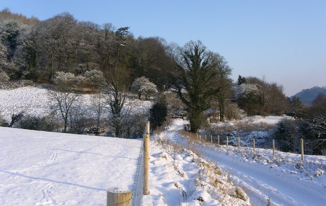
Hillmill lane to Lower Lodge. A splendid long weekend spent pretty well snowed in to this National Trust cottage allowed some wonderful photographs.


