Newent Walks
![]()
![]() This interesting Gloucestershire village has a pretty local lake, country trails and lots of woodland to explore in the surrounding Forest of Dean. The historic town centre is also well worth exploring with the 17th century market hall and a number of listed 13th century buildings to admire.
This interesting Gloucestershire village has a pretty local lake, country trails and lots of woodland to explore in the surrounding Forest of Dean. The historic town centre is also well worth exploring with the 17th century market hall and a number of listed 13th century buildings to admire.
This walk from the town visits The National Bird of Prey Centre and Newent Woods before climbing to the viewpoint at May Hill.
The walk starts in the town and follows country lanes south to the International Birds of Prey Centre in Boulsdon. The centre is one of the main attractions in the area and located within walking distance of the town. It is notable as the oldest dedicated birds of prey centre in the world. You can explore the 12 acre grounds where you can see over 250 birds of prey including eagles, owls, vultures, kites, buzzards and falcons.
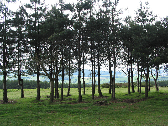
The route then continues south to enter Newent Woods. There's miles of peaceful trails here with ponds and wildlife to look out for on the way. Follow the trails along the western side of the woods and you will soon come to May Hill. The hill sits in a lovely spot on the Gloucestershire/Herefordshire border with excellent views into both counties from the top. On the hill you can pick up a section of the long distance Gloucestershire Way and follow the waymarked trail south past Bearfoot Wood towards Dursley Cross. Near here you pick up the Wysis Way and follow it north east towards Glasshouse. You then head north past Clifford Manor, following woodland trails towards Clifford's Mesne. The route then leaves the woods to retrace your steps back to Newent, passing the Birds of Prey Centre as you go.
Newent Ordnance Survey Map  - view and print off detailed OS map
Newent Open Street Map  - view and print off detailed map
Newent OS Map  - Mobile GPS OS Map with Location tracking
Newent Open Street Map  - Mobile GPS Map with Location tracking
Pubs/Cafes
The Kings Arms is a good choice for some post walk refreshment. They do fine home cooked food and have a nice outdoor decked courtyard for warmer weather. You can find them on Ross Road with a postcode of GL18 1BD for your sat navs.
Dog Walking
The country and woodland trails on the route make for a fine dog walk. The King's Arms mentioned above is also dog friendly.
Further Information and Other Local Ideas
Just a few miles north east of the town there's more woodland trails to be found in the expansive Dymock Woods. You can also pick up the Daffodil Way in the eastern part of the forest. The area around the town is well known for its splendid displays of wild daffoldils in the spring months.
For more walking ideas in the area see the Forest of Dean Walks and the Gloucestershire Walks page.
Cycle Routes and Walking Routes Nearby
Photos
Newent Lake from the bridge. The lake sits on the eastern side of town. It's a nice place for a stroll with lots of birds to look out for on the water.
Handling birds of prey, near to Clifford's Mesne, Gloucestershire, Great Britain. Demonstrations take place regularly at the International Birds of Prey Centre at Boulsdon near Newent. The red kite returns to the wrist for his reward.
A bridleway through Newent Woods. This is a large wooded area on the north-eastern slopes of May Hill. The road in the photograph goes between the villages of Glasshouse and Clifford's Mesne.


