Peak District Inn Way OS Map and GPX
![]()
![]() Visit 51 traditional country pubs on this circular walk through the Peak District.
Visit 51 traditional country pubs on this circular walk through the Peak District.
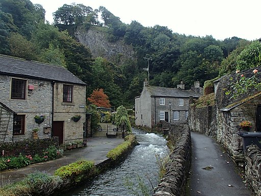
The route starts an ends in Hayfield and explores some of the finest scenery and prettiest villages in the National Park.
The route is spit into 6 stages as follows:
Stage One:
Hayfield to Hathersage(17.5 miles)
Stage Two:
Hathersage to Baslow(13 miles)
Stage Three:
Baslow to Youlgreave(12 miles)
Stage Four:
Youlgrave to Tideswell(16 miles)
Stage Five:
Tideswell to Castleton(14 miles)
Stage Six:
Castleton to Hayfield (11.5 miles)
Walk highlights include the stunning Kinder Scout near the start of the route.
Scroll down the page and you can see a list of the best pubs you will pass on the route. Many of them date back hundreds of years and still have interesting original features.
Please click here for more information
Peak District Inn Way Ordnance Survey Map  - view and print off detailed OS map
Peak District Inn Way Open Street Map  - view and print off detailed map
*New* - Walks and Cycle Routes Near Me Map - Waymarked Routes and Mountain Bike Trails>>
Peak District Inn Way OS Map  - Mobile GPS OS Map with Location tracking
Peak District Inn Way Open Street Map  - Mobile GPS Map with Location tracking
Pubs/Cafes
Hayfield - The Lantern Pike Inn. The interesting old pub dates from 1792, and has a very good menu. There's also a nice outdoor seating area where you can relax outside and enjoy views of the surrounding hills. You can find the pub in the village on 45 Glossop Rd, Little Hayfield with postcode SK222NG for your sat navs. The pub also does accommodation so you can stay over here if you need to.
Hathersage - The Plough Inn dates all the way back to the 16th century and is beautifully situated in nine acres of its own private land which gently slope towards the banks of the River Derwent. They also do accommodation and have a suntrap beer garden to relax in. You can find it at Leadmill Bridge with a postcode S32 1BA for your sat navs.
Baslow - The Prince of Wales. The friendly pub does very good food and includes a roaring fire for winter days. In warmer weather you can relax on the Terrace garden and enjoy fine views of the surrounding hills. You can find the pub on Church Lane at a postcode of DE45 1RY for your sat navs. The inn is also dog friendly if you have your pet with you.
Youlgreave - The Bulls Head. The 17th century coaching inn includes black and white features and sits in the centre of the village. They have a good menu and a garden area to sit out in. You can stay over here in one of the rooms as well. It is located at Church Street with postcode DE45 1UR.
Tideswell - The Anchor Inn. The classic village pub does very good food and has a fine selection of ales.
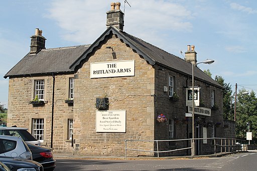
Castleton - Ye Olde Nags Head on Cross Street (Postcode: S33 8WH). Set in a 17th-century former coaching inn, this traditional village pub serves great food and has a good selection of ales. The pub is very walker friendly and has a a great atmosphere.
Further Information and Other Local Ideas
To continue your pub walking in the area try the Alstonefield Walk. This starts from the popular George Inn Pub which dates back to the 18th century and sits in a lovely spot on the pretty village green. The walk will take you from the pub to the beautiful Dovedale.
Cycle Routes and Walking Routes Nearby
Elevation Profile


