Walks Near Penzance
![]()
![]() This Cornish fishing port has some lovely coastal trails, countryside paths, a local reservoir, nearby parks and two scenic gardens to visit. It's also the place where you can catch the boat over to the Isles of Scilly where you can try the splendid St Mary's Coast Path.
This Cornish fishing port has some lovely coastal trails, countryside paths, a local reservoir, nearby parks and two scenic gardens to visit. It's also the place where you can catch the boat over to the Isles of Scilly where you can try the splendid St Mary's Coast Path.
This circular walk from the town takes you along the coast before visiting some of the inland local highlights at Drift Reservoir, Trewidden Gardens, Trengwainton Gardens and the neighbouring village of Newlyn.
The walk starts next to the Albert Pier where you can pick up the South West Coast Path and follow the waymarked footpath along the harbour and the docks towards Chimney Rocks. You continue south west to the promenade at Wherrytown, passing the coastal Bolitho Gardens before coming to Newlyn. The pretty village includes another nice harbour, a noteworthy art gallery and the Newlyn Coombe River.
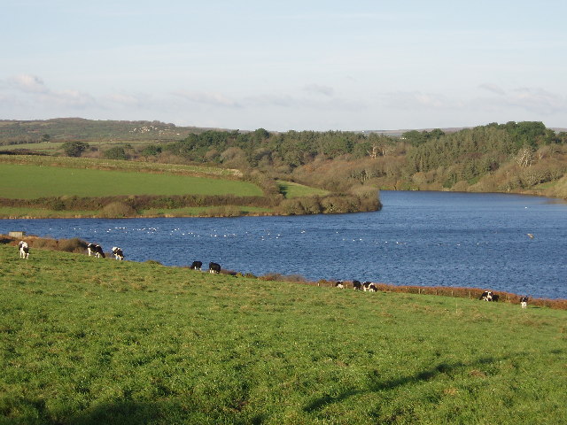
The route then heads inland to visit Drift reservoir where there's some lovely views across the water to the surrounding Cornish countryside. On the eastern side of the water there's the scenic Trewidden Gardens where there's some lovely trees, flowers and ponds to see.
After exploring the gardens you head north towards Tremethick Cross and Boswednen where you can visit the Trengwainton Gardens. Here you'll find woodland trails, walled gardens, tranquil ponds and excellent views over the area from the elevated position of the site.
From the gardens you head past the Boscathnoe Reservoir before descending back into the town.
To continue your walking from the town pick up the St Michaels Way and head east to visit St Michael's Mount.
Please scroll down for the full list of walks near and around Penzance. The detailed maps below also show a range of footpaths, bridleways and cycle paths in the area.
Penzance Ordnance Survey Map  - view and print off detailed OS map
Penzance Open Street Map  - view and print off detailed map
*New* - Walks and Cycle Routes Near Me Map - Waymarked Routes and Mountain Bike Trails>>
Penzance OS Map  - Mobile GPS OS Map with Location tracking
Penzance Open Street Map  - Mobile GPS Map with Location tracking
Pubs/Cafes
Head to the ancient Turks Head for some post walk refreshment. You can step back in time as you enjoy a drink in the place which Pirates and Smugglers once frequented some 750 years ago. It's the oldest pub in the town and includes an interior with real fires, wooden pews and a smugglers' tunnel. There's also a nice outdoor area for warmer days. You can find them at 49 Chapel St with a postcode of TR18 4AF for your sat navs.
Dog Walking
The coastal, country and woodland trails make for a fine dog walk. At Trengwainton please note dogs must be kept on leads and are not allowed in the tea room (outside in the garden is fine though). The Turks Head mentioned above is also dog friendly.
Further Information and Other Local Ideas
Head to nearby Helston and you could enjoy a walk around the lovely Loe Bar.
Head a few miles north west and there's the lovely headland of Cape Cornwall where you can visit the historic Botallack Mine, explore the Kenidjack Valley, look out for seals at the secluded Cot Valley and visit England's most westerly town at St Just.
For more walking ideas in the area see the Cornwall Walks page.
Cycle Routes and Walking Routes Nearby
Photos
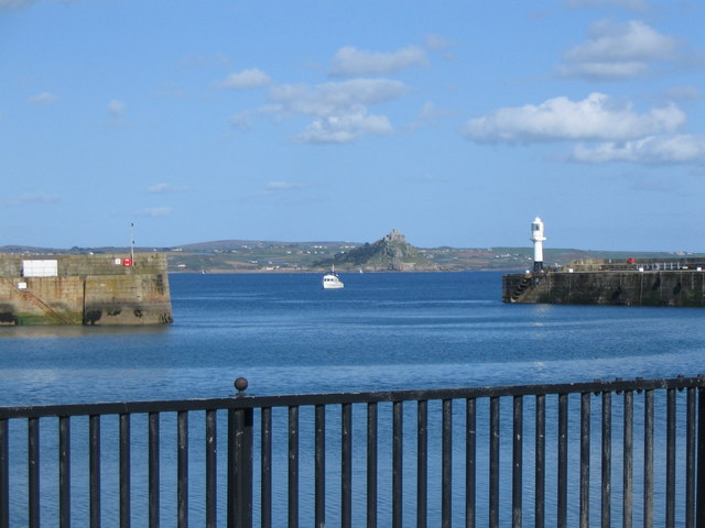
North Pier, Penzance. Built to enclose a large area of calm harbour water. The northern end of the harbour has been converted into a large, popular car park.
St Peter's Church, Newlyn. In the cramped confines of Newlyn's narrow streets it is tricky getting a view of the whole church. This shot shows the southern aspect of the eastern half of the church. The parish of Newlyn was formed in 1848 as a response to the growth of this fishing village, the church however was not built for some years and was opened in 1866.
View from the terrace of Trengwainton Garden. St Michael's Mount can be seen in the distance over the pine trees.


