Peveril Castle Walk
![]()
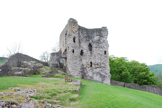
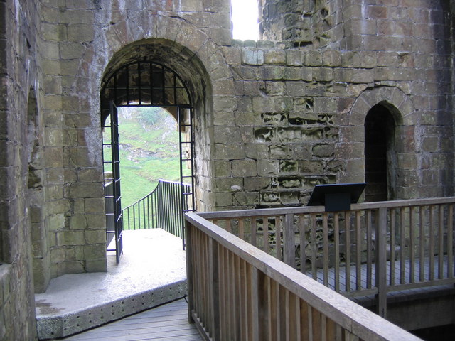
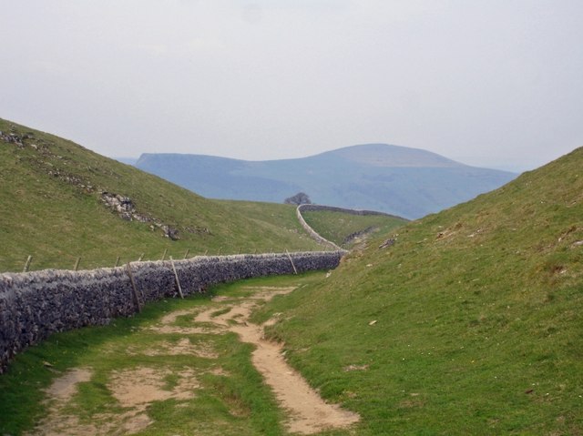
![]() This ruined medieval castle in the Peak District has an amazing history stretching back to the Norman Conquest of 1066. This circular walk uses the Limestone Way and other public footpaths to take you around the castle ruins from the village of Castleton. There's some wonderful Peak District Scenery to enjoy and you will also pass the fascinating Peak Cavern. You can tour the cave to see unusual rock formations, and hear the eerie sound of the running waters. Peak Cavern has the largest natural cave entrance in the British Isles.
This ruined medieval castle in the Peak District has an amazing history stretching back to the Norman Conquest of 1066. This circular walk uses the Limestone Way and other public footpaths to take you around the castle ruins from the village of Castleton. There's some wonderful Peak District Scenery to enjoy and you will also pass the fascinating Peak Cavern. You can tour the cave to see unusual rock formations, and hear the eerie sound of the running waters. Peak Cavern has the largest natural cave entrance in the British Isles.
If you'd like to extend your walk you could climb to the spectacular Winnats Pass and on to Mam Tor.
Postcode
S33 8WQ - Please note: Postcode may be approximate for some rural locationsPlease click here for more information
Peveril Castle Ordnance Survey Map  - view and print off detailed OS map
Peveril Castle Open Street Map  - view and print off detailed map
Peveril Castle OS Map  - Mobile GPS OS Map with Location tracking
Peveril Castle Open Street Map  - Mobile GPS Map with Location tracking
Explore the Area with Google Street View 
Pubs/Cafes
In Castleton head to Ye Olde Nags Head on Cross St (Postcode: S33 8WH). Set in a 17th-century former coaching inn, this traditional village pub serves great food and has a good selection of ales. The pub is very walker friendly and has a a great atmosphere.


