Pitlochry Dam, Killiecrankie Gorge and Loch Faskally Walk
![]()
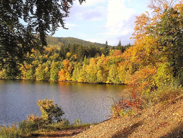
![]() A lovely waterside walk from Pitlochry to Killiecrankie, taking in Loch Faskally, the River Tummel, the Faskally Forest, Loch Donmore and the River Garry. It's a beautiful area with shady woodland paths, peaceful lakes and wonderful views of the surrounding Cairngorm hills.
A lovely waterside walk from Pitlochry to Killiecrankie, taking in Loch Faskally, the River Tummel, the Faskally Forest, Loch Donmore and the River Garry. It's a beautiful area with shady woodland paths, peaceful lakes and wonderful views of the surrounding Cairngorm hills.
Start the walk from the visitor centre and car park in Pitlochry, next to the loch and the dam. From the centre you can see the salmon ladder where the fish leap their way up the river from March to October.
You start by picking up footpaths heading north west along the loch to the Tay Forest Park. Here you will pass along nice woodland trails in the Faskally Forest with a visit to the delightful little Loch Dunmore. It's a lovely spot with loch surrounded by Douglas fir, silver firs, wild cherry, and oak trees, some of which are over 100 years old.
After you emerge from the woods you pick up riverside trails along the River Garry to Killiecrankie. You'll pass along the train line before finishing at the visitor centre, near to the viaduct.
The village is significant as the location for Battle of Killiecrankie in 1689, during the Jacobite Rebellion. In the splendid wooded gorge you can visit 'Soldier's Leap', the spot where a Redcoat soldier leapt 18ft across the raging River Garry, fleeing the Jacobites. Also look out for wildlife including red squirrels, woodpeckers and pine martens.
The visitor centre has lots of information about the history of the area and a nice cafe where you can enjoy refreshments after your walk.
To extend your walking in the area head north west to Glen Garry where you can visit the Falls of Bruar. The lovely wooded gorge includes beautiful waterfalls, several deep black pools, stone bridges, viewpoints and picnic spots.
Just to the north of the town you can try a challenging climb to Ben Vrackie.
Pitlochry Killiecrankie and Loch Faskally Ordnance Survey Map  - view and print off detailed OS map
Pitlochry Killiecrankie and Loch Faskally Open Street Map  - view and print off detailed map
Pitlochry Killiecrankie and Loch Faskally OS Map  - Mobile GPS OS Map with Location tracking
Pitlochry Killiecrankie and Loch Faskally Open Street Map  - Mobile GPS Map with Location tracking
Further Information and Other Local Ideas
Just south east of the town there's the Black Spout Waterfall to visit. It's a picturesque spot with rushing falls, woodland trails and views of the Blair Atholl and Edradour Distilleries.
To the north west there's the Linn Of Tummel, a picturesque spot at the confluence of the rivers Garry and Tummel. The National Trust owned area has some nice woodland trails with pine martens and other wildlife to look out for.


