Portchester Castle Walk
![]()
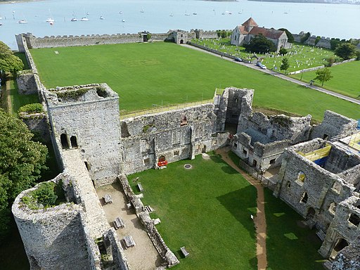
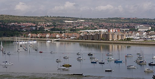
![]() This walk visits the medieval Portchester Castle and the Roman Fort of Portus Adurni near Fareham in Hampshire. The walk then continues along the Porchester coast towards Fareham with lovely views of Portsmouth Harbour on the way.
This walk visits the medieval Portchester Castle and the Roman Fort of Portus Adurni near Fareham in Hampshire. The walk then continues along the Porchester coast towards Fareham with lovely views of Portsmouth Harbour on the way.
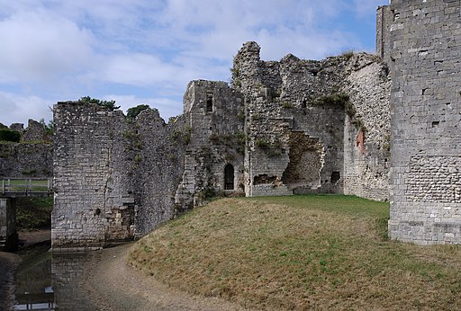
The walk starts from the car park next to the castle. The Grade I listed building was probably founded in the late 11th century and taken under royal control in 1154. Occupying a commanding position at the head of Portsmouth Harbour, in the medieval period Portchester was an important port.
After exploring the castle the route heads west along the Allan King's Way, passing the Kenwood, Alton Grove and Harbour View Open Spaces. The route continues past Wicor Hard, Fareham Lake and Cams Bay where the path bends around the Cam Hall Estate and golf course. The final section runs along the opposite side of Fareham's pretty quays.
To continue your walking in the area try our Fareham Walk which uses more of the Allan King's Way footpath to visit the Nelson Monument and Fort Nelson. The fort is one of five defensive forts built on the summit of Portsdown Hill in the 1860s, overlooking the important naval base of Portsmouth.
Postcode
PO16 9QW - Please note: Postcode may be approximate for some rural locationsPortchester Castle Ordnance Survey Map  - view and print off detailed OS map
Portchester Castle Open Street Map  - view and print off detailed map
Portchester Castle OS Map  - Mobile GPS OS Map with Location tracking
Portchester Castle Open Street Map  - Mobile GPS Map with Location tracking
Cycle Routes and Walking Routes Nearby
Photos
Saxon Shore, Portchester Castle. Castle built by Henry II on site of Roman fort. English troops left here en route to Agincourt.
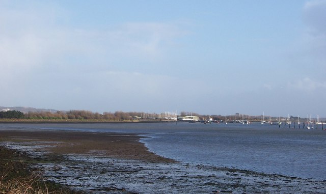
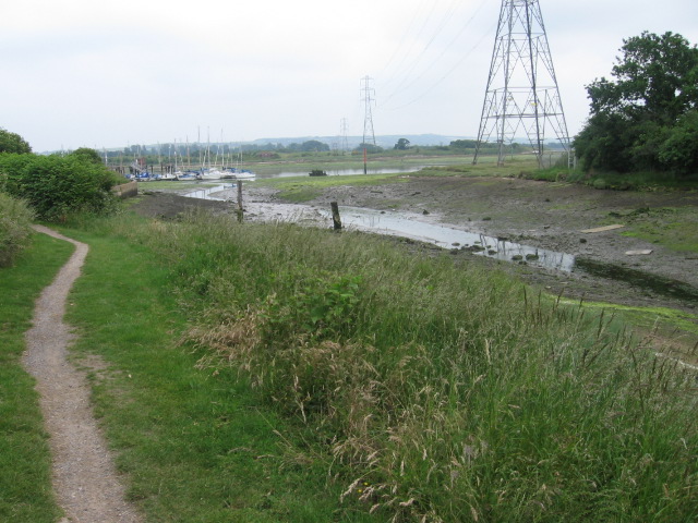
View across Wicor Lake-Fareham. View from footpath south of Cams Estate, looking across Wicor Lake toward Wicor Marine.

