Portwrinkle and Whitsand Bay Walk
![]()
![]() This walk takes you along a lovely section of the South West Coast Path from Portwrinkle to Rame Head on the Cornish coast.
This walk takes you along a lovely section of the South West Coast Path from Portwrinkle to Rame Head on the Cornish coast.
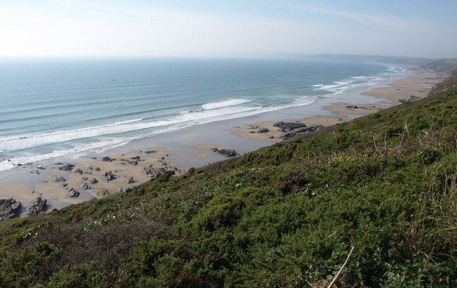
The route runs along the picturesque Whitsand Bay with splendid coastal views throughout. It's a photogenic area with imposing cliffs and long stretches of sandy beaches to enjoy. There's also a number of historic coastal fortifications to investigate as well.
You start the walk from the little village of Portwrinkle at the western end of the bay. The trail then heads east past the golf course to the Tregantle Fort.
You continue past Freathy Cliff to the Whitsand Bay Battery and Wiggle Cliff before coming to Rame Head at the bay's eastern end. This area has some wonderful views over Cawsand Bay and the mediaevel Rame Chapel to explore.
Portwrinkle and Whitsand Bay Ordnance Survey Map  - view and print off detailed OS map
Portwrinkle and Whitsand Bay Open Street Map  - view and print off detailed map
Portwrinkle and Whitsand Bay OS Map  - Mobile GPS OS Map with Location tracking
Portwrinkle and Whitsand Bay Open Street Map  - Mobile GPS Map with Location tracking
Pubs/Cafes
The Finnygook Inn is located just off the route at Crafthole but worth a small detour. The historic 15th century coaching inn has some excellent views over the Tamar valley to the St Germans River. There's a fine old interior with low-beamed ceilings and a wealth of brass and copper ornaments. The name refers to the resident ghost (gook) of a local smuggler, Silas Finney, who was hung and thrown down the well (now under the kitchen) when his gang returned from a spell of transportation after he turned king's evidence against them.
Outside is a seating area with standard garden furniture and a marquee that can been used by customers for functions and shelter from inclement weather at other times. There's more wonderful scenic views from here as well. You can find them at postcode PL11 3BN for your sat navs. The pub is dog friendly.
Further Information and Other Local Ideas
About Portwinkle:- The village with its rich maritime heritage, has a history steeped in fishing. It still showcases the remnants of its 17th-century pilchard cellars, which have been ingeniously incorporated into residential buildings. Its historic harbor is a focal point, providing access to two beautiful beaches. Despite the absence of shops within the village, apart from the beach car park cafe, residents can conveniently access a post office located in the nearby village of Crafthole.
The Whitsand Bay Hotel, formerly known as Thanckes House, which was originally situated in Torpoint, was carefully dismantled and reconstructed in Portwrinkle. Regrettably, the hotel closed its doors in 2018. However, as of 2022, the Grade II listed building remains standing, awaiting plans for redevelopment.
To the west of the village, Eglarooze Cliff has earned the distinction of being designated a Site of Special Scientific Interest due to its remarkable biological significance. The cliff is a habitat for two endangered plant species listed in the Red Data Book: the slender bird's-foot trefoil and carrot broomrape. This natural wonder adds to the village's charm and showcases its commitment to preserving the environment.
Cycle Routes and Walking Routes Nearby
Photos
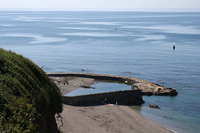
Portwrinkle Harbour. The Banjo Pier built when this village was founded as a pilchard fishery is still in place. This photograph was taken from the coast path just to the west of the village.
Tregantle Fort, Cornwall. This 19th century fortification was completed in 1865 and overlooks Whitsand Bay. The intention of the fort was to hold guns which could fire on ships at sea. Whilst its guns were upgraded in the late 19th century they did not keep pace with the advances in naval guns at the time. This photograph shows the southwestern aspect of the fort. The fort and its surrounds now contain rife ranges for military practice.
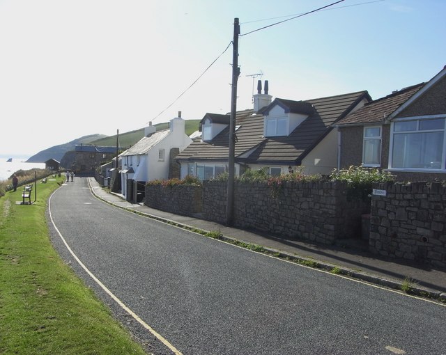
Freathy. Freathy, known as Frydhi in Cornish, is a charming coastal settlement located on the Rame Peninsula in eastern Cornwall, England, within the United Kingdom. To reach Freathy, you can follow the picturesque coast road, which also accommodates the South West Coast Path. Most of the residential buildings in this delightful village are situated to the north of the road, atop the plateau overlooking Freathy Cliffs. Additionally, you'll find a scattering of chalets on the cliffside, providing captivating views of the beach below. In the summertime, Freathy's beach becomes a magnet for tourists who come to bask in its beauty and enjoy the coastal ambiance. This idyllic spot offers a serene escape for those seeking a seaside retreat.
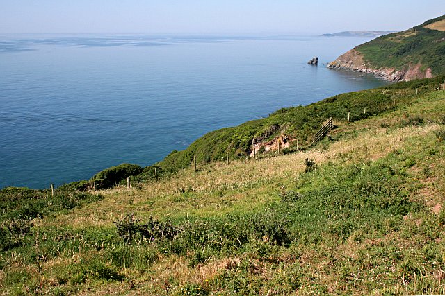
Above the Cliff. This shows the only land in this square which you can get to without being tied to a rope. The rest is cliff face. The island off the point on the right of the photo is The Long Stone below Cargloth Cliff and is in the next grid square to the west.
Polhawn Cove. Polhawn Cove is a rough beach, consisting of sharp rocks, shingle and an area of open sand.


