Ripon Canal
![]()
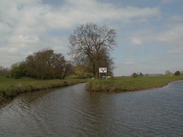
![]() Enjoy a short, waterside stroll along the Ripon Canal, on this easy walk in North Yorkshire. The canal runs for just over two miles, from the cathedral city of Ripon, to the River Ure, near Newby Hall. Along the way there are pretty locks and nice views of the surrounding countryside. At the end of the canal you will find the wonderful Newby Hall. The 18th century house is open to the public from 21 March until 1 October. It's a lovely spot with the grounds including views over the River Ure, extensive herbaceous borders and woodland walks.
Enjoy a short, waterside stroll along the Ripon Canal, on this easy walk in North Yorkshire. The canal runs for just over two miles, from the cathedral city of Ripon, to the River Ure, near Newby Hall. Along the way there are pretty locks and nice views of the surrounding countryside. At the end of the canal you will find the wonderful Newby Hall. The 18th century house is open to the public from 21 March until 1 October. It's a lovely spot with the grounds including views over the River Ure, extensive herbaceous borders and woodland walks.
The canal forms part of the long distance Ripon Rowel which takes you on a tour of the countryside and villages surrounding the city. You can continue along the trail to extend your walk.
Just to the west of the canal is the splendid Studley Park and Fountains Abbey where there are miles of footpaths taking you around beautiful parkland and gardens.
Our Boroughbridge Canal Walk will take you along a lovely section of the River Ure which links with the canal around Newby Hall.
Ripon Canal Ordnance Survey Map  - view and print off detailed OS map
Ripon Canal Open Street Map  - view and print off detailed map
Ripon Canal OS Map  - Mobile GPS OS Map with Location tracking
Ripon Canal Open Street Map  - Mobile GPS Map with Location tracking
Pubs/Cafes
At the end of the route you can take a short detour to visit the nearby village of Bishop Monkton. Here you'll find the Mason's Arms pub for some refreshments. They do very good food in a picturesque setting in the village. There's also an outdoor area for finer days. You can find the pub at St John's Rd, Bishop Monkton with a postcode of HG3 3QU for your sat navs.
Dog Walking
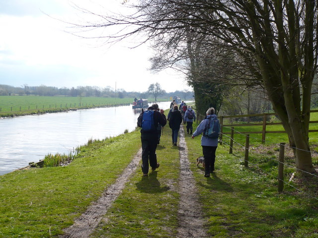
The towpath is a nice place to take your dog for a gentle stroll. The Mason's Arms mentioned above is also dog friendly.
Further Information and Other Local Ideas
You can turn it into a longer circular walk by following country lanes south west to Bishop Monkton and then following the Knaresborough Road back into Ripon.
For more walking ideas in the county see the Yorkshire Walks page.
Cycle Routes and Walking Routes Nearby
Photos
The last lock before reaching Ripon. In the distance are building associated with Ripon racecourse which also passes through a corner of this square.
Bishop Monkton village. This pretty village is located just off the canal and well worth visiting. It's on the Ripon Rowel walk so can be easily reached.


