Rosedale Railway Walk
![]()
![]() This walk explores the old Rosedale Mineral Railway near Rosedale Abbey in the North York Moors.
This walk explores the old Rosedale Mineral Railway near Rosedale Abbey in the North York Moors.
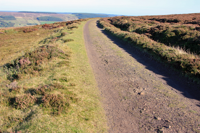
You can start the walk from the Rosedale Chimney Bank car park, just south of the village. From here you can pick up the trail and follow it west to Hobb Cragg, Thorgill Head and the ruins at Sherriff's Pit. It's a lovely elevated path with wonderful views of the typical heather moorland scenery of the area.
The route also exposes the industrial heritage of Rosedale, taking you past the old ironstone mines which have been close for over a century.
Rosedale Railway Walk Ordnance Survey Map  - view and print off detailed OS map
Rosedale Railway Walk Open Street Map  - view and print off detailed map
Rosedale Railway Walk OS Map  - Mobile GPS OS Map with Location tracking
Rosedale Railway Walk Open Street Map  - Mobile GPS Map with Location tracking
Cycle Routes and Walking Routes Nearby
Photos
Track of the disused railway line above Rosedale. This view is in the direction of Blakey. Keywords: Disused railway line, track, heather.
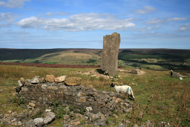
Ruins Sherriff's Pit. Sherriff's Pit was quite unusual amongst the Rosedale ironstone mines in that it ore was extracted via a shaft. The pit was named after a partner in the original mining company, an Alexander Clunes Sheriff. The royalty was first leased in 1857 with drifts into the hillside just above Medd's Farm (SE703968). One of these drifts was extended to the base of the 825' vertical shaft. A tramway carried the ore to the base of the shaft where it was hauled to the top and directly emptied into railway wagons without being calcinated. The mine closed between 1879 and 1881 due to the recession. It finally closed in 1911.


