Sheep's Head Way Walk
![]() This loop walk explores the Sheep's Head peninsula located between Bantry Bay and Dunmanus Bay in County Cork.
This loop walk explores the Sheep's Head peninsula located between Bantry Bay and Dunmanus Bay in County Cork.
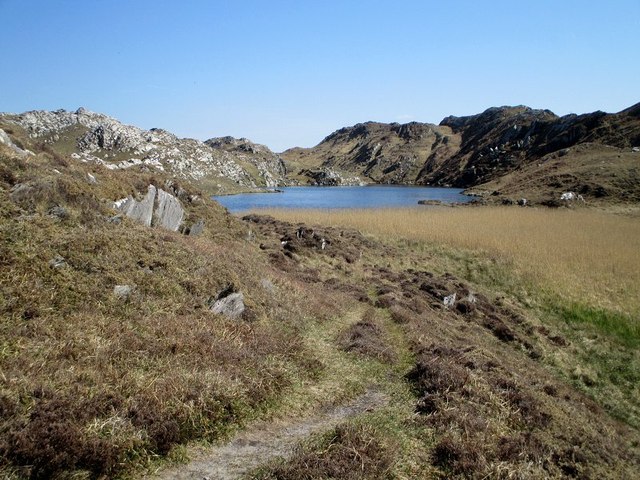
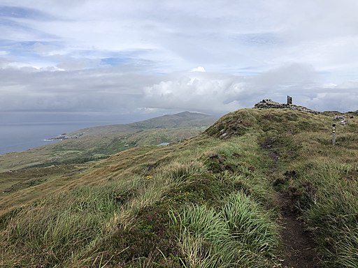
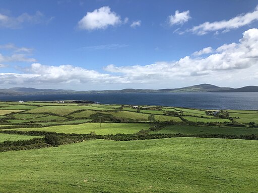
The headland is a popular place for walking and cycling with some stunning coastal scenery to enjoy.
Historic features include the remains of an old copper mine, a blow hole, stone circles, standing stones, a Napoleonic signal tower and old churches.
There is also a photogenic lighthouse at the end of the peninsula.
You can start the walk from the village of Bantry and then head west to the rugged hills and cliff tops. Here you can look out for wildlife including dolphins and various sea birds.
To continue your coastal walking in the area you could head south west to Mizen Head which is traditionally regarded as the most southerly point of mainland Ireland. The stunning coastal area includes the Mizen Head Signal Station & Visitor Centre where you can learn all about this special area. Near here there's also Cape Clear, Ireland’s southernmost inhabited Irish-speaking island. It's another wonderful, peaceful place for a walk with lots of wildlife and great views back to Mizen Head. Sherkin Island can also be visited in this area.
Sheeps Head Way Open Street Map  - view and print off detailed map
Ireland Walking Map - View All the Routes in the Country>>
Sheeps Head Way Open Street Map  - Mobile GPS Map with Location tracking
Further Information and Other Local Ideas
Head south east and you could pick up the popular Seven Heads Walk. There's a long circular trail to follow around the picturesque peninsula with pretty seaside villages, lovely beaches and bays. The trail is located near the delightful town of Clonakilty. The vibrant seaside town has a fine walk along Clonakilty Harbour to Inchydoney Island where there's a lovely blue flag beach.
Near here there's also Galley Head where you can explore the sand dunes at Long Strand beach before heading towards the 19th century lighthouse at the end of the headland.
Head north and you could visit Gougane Barra. Here you'll find some fine woodland trails, a pretty lake and a riverside path with views of the Shehy Mountains.
The Eyeries - Creha Quay Loop is a nearby waymarked circular loop walk exploring the coastline and countryside surrounding the village of Eyeries on the Beara Peninsula.
Cycle Routes and Walking Routes Nearby
Photos
Sheep's Head Lighthouse. Lighthouse at the end of the Sheep's Head peninsula. It is a relatively recently built light, commissioned to protect tankers going in to the Whiddy Island oil terminal and completed in 1968.
The peninsula was named as a European Destination of Excellence for Sustainable Tourism in 2009. In March 2015, the Sheep's Head won Silver at the Irish Responsible Tourism Awards, and was longlisted for 'Best Destination' in the World Responsible Tourism Awards 2015. The area's tourism cooperative won a special judge's commendation at the Irish Tourism Industry Awards in 2015.


