Snake Pass
![]()
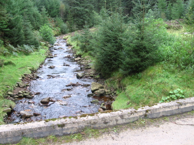
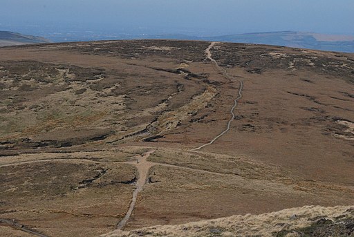
![]() This circular walk explores the area around the Snake Pass with great views of the Pennines. It's an interesting area with some nice woodland trails, lots of pretty streams and fabulous views from the high points. It's a fairly challenging walk, reaching a height of nearly 1800ft at Mill Hill.
This circular walk explores the area around the Snake Pass with great views of the Pennines. It's an interesting area with some nice woodland trails, lots of pretty streams and fabulous views from the high points. It's a fairly challenging walk, reaching a height of nearly 1800ft at Mill Hill.
The walk starts in the Lady Clough Woods car park just off the Roman Road. Also known as Snake Woods this attractive conifer plantation climbs the steep slopes on either side of the clough. You follow the woodland trails south to Saukin Ridge where you pick up the Snake Path. This stony footpath runs west along Black Ashop Moor to Ashop Clough and Ashop Head. There's nice streams and pretty heather to look out for on this section. At Ashop Head you have the option of picking up the Pennine Way and following it south east towards the magnificent Kinder Scout. You could also head due south and visit Kinder Reservoir.
This route turns north east along the Pennine Way towards Featherbed Moss, an area of peat bog with a number of flagstones to cross. You then cross the road and head towards Crooked Clough and Doctor's Gate before turning south and returning to the woods.
Other walks around the Snake Pass include Alport Castles and Derwent Reservoir. These are located just to the east of the pass. Alport Castles is only about a mile away from the start point for this walk. Here you will find spectacular formation of rocks formed from numerous landslides over a period of time. Footpaths from here can take you on to the reservoir where there is some lovely scenery and waterside paths.
Following the Pennine Way North from the road will soon take you to Bleaklow. From the Bleaklow Head summit there are wonderful views across Greater Manchester, Lancashire, Cheshire, the Hope Valley, Holme Moss, Emley Moor and Yorkshire.
Our walk around Glossop also joins with this route, at Doctor's Gate.
Postcode
S33 0AB - Please note: Postcode may be approximate for some rural locationsSnake Pass Ordnance Survey Map  - view and print off detailed OS map
Snake Pass Open Street Map  - view and print off detailed map
Snake Pass OS Map  - Mobile GPS OS Map with Location tracking
Snake Pass Open Street Map  - Mobile GPS Map with Location tracking
Cycle Routes and Walking Routes Nearby
Photos
Footbridge over the River Ashop. This is a wooden-slatted footbridge crossing the River Ashop with a derelict shooting cabin perched above.


