Southampton City Walls Walk
![]()
![]() A circular walk taking you around the historic walls of the city of Southampton.
A circular walk taking you around the historic walls of the city of Southampton.
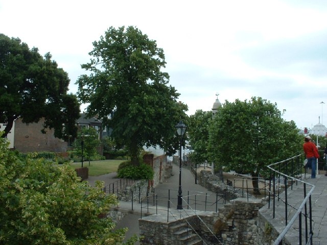
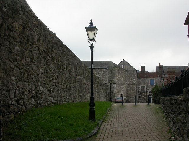
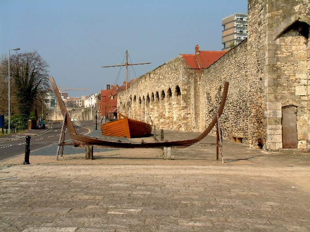
The route runs for just under 2 miles following the walls to some interesting historical sites in the city centre. As you make your way around the walls look out for the information placards which will give you more information about the history of the buildings, towers, arches and wall sections you will pass. There's also nice views across the city and the quay from the elevated position of the wall.
You can start the walk at the Forty Steps near West Quay and Bargate. Climb the steps and then head south towards the quay, passing the site of Southampton Castle on the way. The castle was built after the Norman conquest in 1066.
At the Town Quay you head east passing the Hugenot Gardens before continuing to Queen's Park. After passing through the pretty park you turn north west to head towards the High Street.
You head north along the High Street towards Polymond Tower before turning west to Bargate. This is one of the significant locations on the walk being a photogenic Grade I listed medieval gatehouse. Constructed in Norman times as part of the Southampton town walls, it was the main gateway to the city.
After leaving Bargate you head west to return to the forty steps and the end of the route.
Postcode
SO14 2AD - Please note: Postcode may be approximate for some rural locationsSouthampton Walls Ordnance Survey Map  - view and print off detailed OS map
Southampton Walls Open Street Map  - view and print off detailed map
Southampton Walls OS Map  - Mobile GPS OS Map with Location tracking
Southampton Walls Open Street Map  - Mobile GPS Map with Location tracking
Further Information and Other Local Ideas
To continue your walking in the area head a couple of miles north to visit the expansive Southampton Common. There's nice walking and cycling trails here with woodland and a number of pretty lakes.
You can also pick up the Itchen Way in the city and follow it north to the pretty Itchen Valley Country Park.
The long distance Solent Way can be picked up at the southern end of the walls near the quay. Follow the waymarked trail south east and it will take you to Royal Victoria Country Park.
Just to the west is the neighbouring town of Totton where you can visit the wildlife rich Testwood Lakes and Lower Test Nature Reserve. The town is also close to the start point for the Test Way where you can visit the noteworthy Eling Tide Mill. The Grade II listed mill is a major local attraction with picturesque walks and some fascinating local history.
For more walking ideas in the area see the Hampshire Walks page.
Cycle Routes and Walking Routes Nearby
Photos
Friary Gate. The placard at the site reads- 'This small postern gate was built in 1373/74 by the friars to give access to their gardens lying outside the town wall. A square two-story tower, it added to the town defences and carried two guns in the time of war. The gateway and its associated bridge across the town ditch went out or use in the late sixteenth century.'


