Southern Upland Way - Map and GPX
![]()
![]() This splendid route is one of the four official Long Distance Routes in Scotland and is Britain's first official coast to coast long distance foot-path.
This splendid route is one of the four official Long Distance Routes in Scotland and is Britain's first official coast to coast long distance foot-path.
The trail starts at Portpatrick, on the south-west coast of Scotland, and runs to Cockburnspath on the eastern seaboard. The path visits Castle Kennedy, New Luce, Bargrennan, St John's Town of Dalry, Sanquhar, Wanlockhead, Beattock, Daer Reservoir, St Mary's Loch, Traquair, Galashiels, Lauder and Longformacus. Highlights includes beautiful coast, a series of delightful lochs and fabulous views of the Lowther Hills and the Lammermuir Hills towards the end of the route.
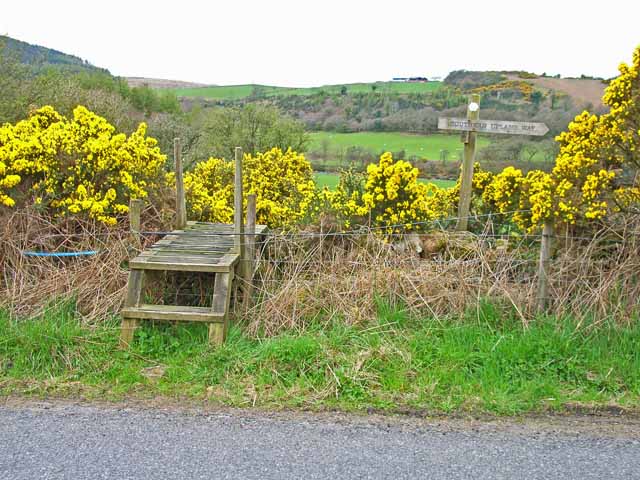
The trail is waymarked with a black and white thistle logo.
Please click here for more information
Southern Upland Way Ordnance Survey Map  - view and print off detailed OS map
Southern Upland Way Open Street Map  - view and print off detailed map
Southern Upland Way OS Map  - Mobile GPS OS Map with Location tracking
Southern Upland Way Open Street Map  - Mobile GPS Map with Location tracking
Further Information and Other Local Ideas
At the start of the walk in Portpatrick you will pass the delightful Dunskey Glen where there's an historic estate with woodland, wildlife, beautiful gardens, lakes and a picturesque waterfall. The cliff top ruins of Dunskey Castle can also be visited in this area.
Around Moffat the route links up with the Annandale Way which will take you along the River Annan through the Moffat Hills to the sea at the Solway Firth, south of the town of Annan.
Cycle Routes and Walking Routes Nearby
Photos
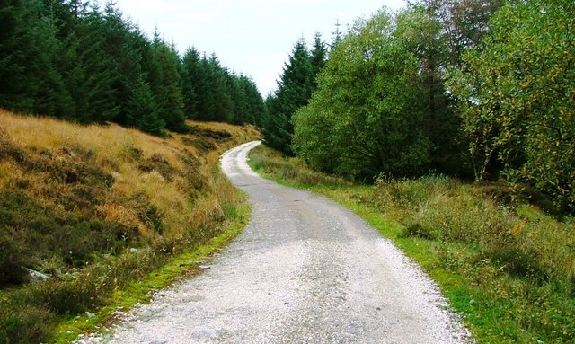
This forest road is also part of the Southern Upland Way. An old quarry is to the right and Craiglee lies ahead.
The trail uses this forest track between Craigencallie and Glen Trool. In the glen you will also pass the beautiful Loch Trool. Here you can enjoy a popular circular walk around the loch where you'll pass the site of the Battle of Glen Trool in 1307. This is where Robert the Bruce with a few infantry let 1500 English soldiers with cavalry chase him up this south side of Glen Trool. At this point he had laid an ambush, the rest of his men rolled stones down this hillside to pitch men and horses into the loch, and followed up by attack with archers, so defeating the English.
Here, the Southern Upland Way follows the route of an old drove road. Photo taken looking westwards as the path starts to climb to the top of Brown Knowe.
Elevation Profile


