St Cuthbert's Cave Walk
![]()
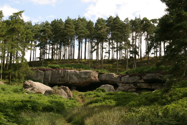
![]() This walk visits an interesting Sandstone cave near Belford in Northumberland. The monks of Lindisfarne reputedly brought St. Cuthbert's body to the site in AD875 following Viking raids on the Island.
This walk visits an interesting Sandstone cave near Belford in Northumberland. The monks of Lindisfarne reputedly brought St. Cuthbert's body to the site in AD875 following Viking raids on the Island.
They sheltered in the caves before travelling the old kingdom of Northumberland for a number of years before finally settling at Durham. The bones are now enshrined in Durham Cathedral behind the main altar.
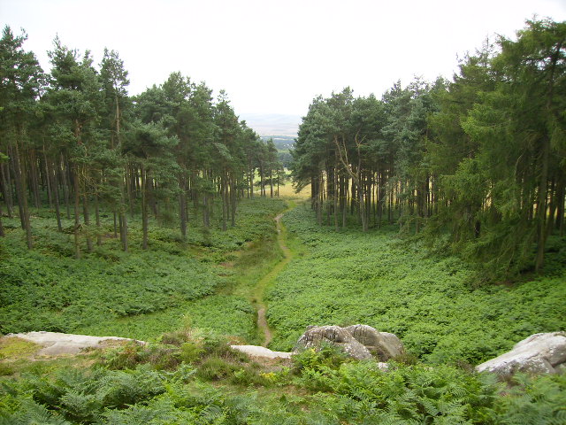
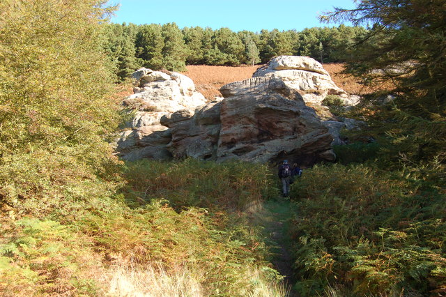
The cave is surrounded by attractive Scots Pine Woodland and includes a short climb to a viewpoint where you can see the nearby Holy Island. The route runs for about 2 miles with a moderate hill climb up to the cave at the start.
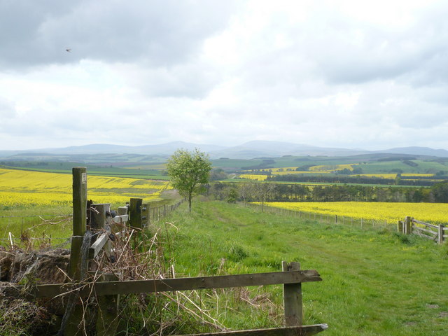
Start the walk from the car park just to the east of Holburn. From here you follow paths north east towards the cave and the surrounding woodland. The route then follows woodland trails before heading into the countryside surrounding the cave.
The St Cuthbert's Way long distance trail runs past the cave so you could pick this up to extend your walk. Heading north will take you through Shiellow Wood to Fenwick. Beyond there you will find the Lindisfarne Causeway taking you to the wonderful Lindisfarne Castle and Holy Island.
Heading south west along the trail will take you to Chimney Hill and Wooler where you can visit Wooler Common.
You can also reach the site from nearby Belford by following the St Oswald's Way north west to the Swinhoe Lakes and Fawcet Hill.
Postcode
NE66 5SB - Please note: Postcode may be approximate for some rural locationsSt Cuthberts Cave Ordnance Survey Map  - view and print off detailed OS map
St Cuthberts Cave Open Street Map  - view and print off detailed map
St Cuthberts Cave OS Map  - Mobile GPS OS Map with Location tracking
St Cuthberts Cave Open Street Map  - Mobile GPS Map with Location tracking
Pubs/Cafes
The Black Swan in Belford serves good food and real ale. You can find them at the Market Place at postcode NE70 7ND.
Further Information and Other Local Ideas
Just a mile north of the cave you'll find the expansive Kyloe Woods. The peaceful area has some fine woodland tracks and some imposing cliff faces which area popular with rock climbers.
The Northumberland Coast Path passes the site. The long distance trail takes you along the stunning coastline to Berwick, visiting several of the area's historic castles on the way.
Head north and you could visit the interesting village of Norham. The historic village is located on the River Tweed next to the Scottish border. There's nice riverside walks and a noteworthy 12th century castle ruin to explore here.


