St Helens Fort Walk
![]()
![]() This walk explores the delightful coastal village of St Helens on the eastern side of the Isle of Wight.
This walk explores the delightful coastal village of St Helens on the eastern side of the Isle of Wight.
The area includes St Helens Fort which can be reached on foot at low tides, particularly in August. At this time you can pick up the causeway from St Helen's Old Church and follow it out to the fort. It's less than a mile out to the structure and often attracts a large group of walkers. The historic Palmerston Fort dates back to 1865 when it was constructed to protect St Helens from a potential French invasion under Louis Napoleon III.
This circular walk starts from the public car park, just to the south of the church. If the tide is low enough you can walk out to the fort but be sure to return in good time before the tide comes in.
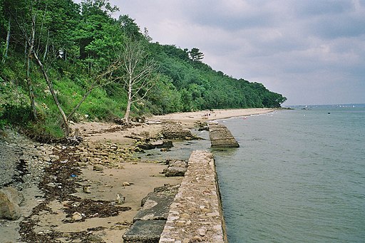
The route then picks up a section of the Isle of Wight Coast Path to Seagrove Bay and Horestone Point. You can then follow coastal footpaths south along Priory Bay to return to the car park.
Along the way there's some fine views over the bays from the elevated inland section of the IOW coast path. There's also some scenic beach walks to enjoy in this lovely area.
Postcode
PO33 1XY - Please note: Postcode may be approximate for some rural locationsSt Helens Fort Ordnance Survey Map  - view and print off detailed OS map
St Helens Fort Open Street Map  - view and print off detailed map
St Helens Fort OS Map  - Mobile GPS OS Map with Location tracking
St Helens Fort Open Street Map  - Mobile GPS Map with Location tracking
Further Information and Other Local Ideas
Just west of Ryde there's another historic highlight at Quarr Abbey. The Grade I listed abbey monastery dates back to the 12th century and includes a scenic estate with lovely gardens, wildflower meadows and woodland with red squirrels to look out for. Very near the abbey there's some peaceful woodland trails at Firestone Copse and the splendid Isle of Wight Heritage Steam Railway centre at Havenstreet.
Cycle Routes and Walking Routes Nearby
Photos
St Helens Fort Walk 2017 at St Helens beach. Photo shows a large group of walkers crossing the beach at low tide in the August of 2017.


