Standish Wood
1.9 miles (3 km)
![]()
![]() Enjoy peaceful woodland trails in this large area of woodland near Whiteshill, Stroud. In the springtime there are carpets of bluebells to enjoy.
Enjoy peaceful woodland trails in this large area of woodland near Whiteshill, Stroud. In the springtime there are carpets of bluebells to enjoy.
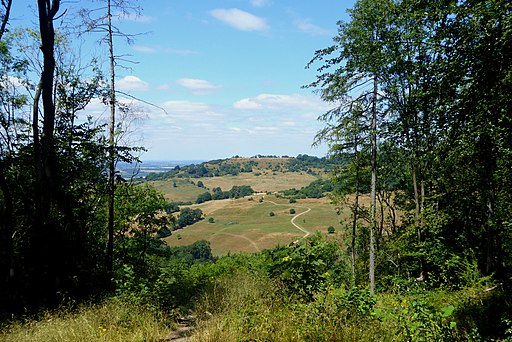
The walk can be extended by climbing Haresfield Beacon for wonderful views over the Severn Vale and the Cotswolds.
Standish Wood Ordnance Survey Map  - view and print off detailed OS map
Standish Wood Open Street Map  - view and print off detailed map
Standish Wood OS Map  - Mobile GPS OS Map with Location tracking
Standish Wood Open Street Map  - Mobile GPS Map with Location tracking
Cycle Routes and Walking Routes Nearby
Photos
One of the two Bronze Age round barrows on Standish Wood near Randwick in Gloucestershire. This is the smaller and more westerly of the two barrows, which are only a few metres apart.


