Stanley Ferry Walk
![]()
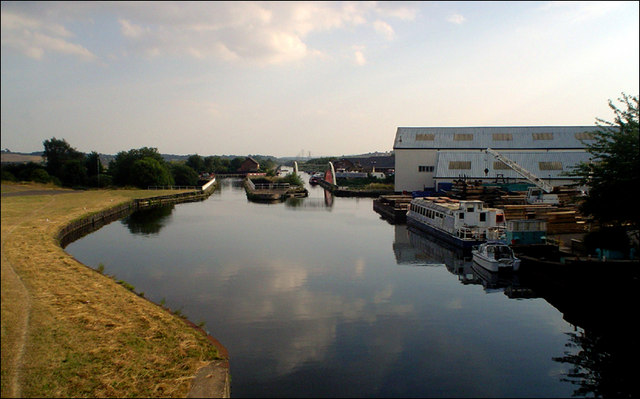
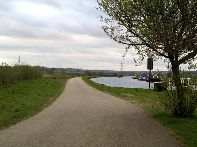
![]() This circular walk takes you along the Wakefield Canal around the village of Stanley Ferry.
This circular walk takes you along the Wakefield Canal around the village of Stanley Ferry.
You'll also visit the River Calder and the Stanley Marshes Nature Reserve on the way.
The walk starts at the Stanley Ferry pub where car parking is available. From here you can pick up the Aire and Calder Canal and the Trans Pennine Trail. Follow the waymarked trail south along the towpath and it will take you path Ramsdens Bridge to the point where the canal meets with the River Calder in the Southern Washlands Nature Reserve. You cross the river and then follow it north east towards Newland Park and Altofts where you rejoin the canal. Follow it west and it will take you past Birkwood Lock to return you to the pub. You then have the option of taking a short stroll west to visit the Stanley Marsh Nature Reserve. There's a pretty lake here where you can look out for a variety of wildlife.
Postcode
WF3 4LT - Please note: Postcode may be approximate for some rural locationsStanley Ferry Ordnance Survey Map  - view and print off detailed OS map
Stanley Ferry Open Street Map  - view and print off detailed map
Stanley Ferry OS Map  - Mobile GPS OS Map with Location tracking
Stanley Ferry Open Street Map  - Mobile GPS Map with Location tracking
Pubs/Cafes
The Stanley Ferry pub is located right next to the canal with great views over the water. You can find them on Ferry Lane at postcode WF3 4LT for your sat navs.
Dog Walking
The waterside paths make for a fine dog walk. The pub mentioned above is dog friendly in the garden area.
Further Information and Other Local Ideas
At the southern end of the route you could take a slight detour to visit Heath Common where there's lots of trails and a variety of wildlife to see. Five major houses now stand within the village including the Grade 1 listed Heath Hall. Some of the houses date from the 17th century.
To the south of the canal there are several local highlights to visit. These include Pugneys Country Park, Newmillerdam Country Park, Anglers Country Park, Wintersett Reservoir and the historic Nostell Priory.
The Walk around Wakefield visits three local parks with easy surfaced footpaths taking you to rose gardens, a conservatory, a lake and an aviary.
Cycle Routes and Walking Routes Nearby
Photos
Stanley Ferry Aqueduct. The original - and still in use - structure was first crossed by a boat in 1839. Built of cast-iron and stone on the same principle as the Sydney Harbour Bridge (which it predates by 100 years), it now has a concrete companion built in 1981. About two miles distant - just before Fall Ing Lock - is a path up through woods to the Water Tower and the Kings Arms at Heath.
These moorings, provided by British Waterways, are equipped to provide water and electricity to canal boat users. Ramsden’s footbridge, in the background, provides access to the other facilities.
Canada Geese, Southern Washlands. Other bird species you can see here include Goldeneyes, Greenshanks and Green Sandpipers. In the warmer months the grassland is full of wildflowers, butterflies, and dragonflies. There are also beautiful Sweet Chestnut trees to see in the autumn in this area.


