Sudbury Railway Walk
![]()
![]() This route takes you along the Sudbury Valley Walk in the Suffolk town of Sudbury.
This route takes you along the Sudbury Valley Walk in the Suffolk town of Sudbury.
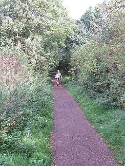
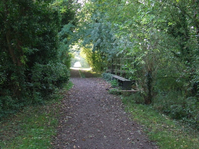
The shared cycling and walking trails runs along a disused railway line from Sudbury to Melford Country Park in Long Melford. The trail runs for about 2.5 miles along a flat, easy path.
You can start the walk from Sudbury train station. You then head west and north passing the wildlife rich Sudbury Water Meadows.
You continue north past the waterside Brundon Mills to Borley Hall, before finishing at the pretty Melford Country Park. Here you can enjoy more pleasant walking trails around the park's scenic lakes and parkland.
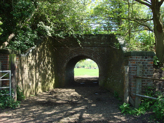
Along the way you'll pass the railway's old bridges and enjoy views of the River Stour towards the end of the route. You could extend the walk by visiting the nearby Melford Hall where there's some interesting local history and pleasant walks around the attractive grounds.


