Summer Leys Nature Reserve Great Doddington
![]()
![]() This walk explores the Summer Leys Nature Reserve and the countryside around the village of Great Doddington near Wellingborough in Northamptonshire.
This walk explores the Summer Leys Nature Reserve and the countryside around the village of Great Doddington near Wellingborough in Northamptonshire.
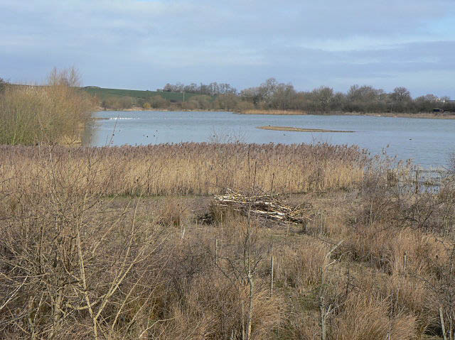
The reserve has some nice easy access trails taking your around wildlife rich wetlands and grassland.
After exploring the reserve you can head into the village of Great Doddington and pick up the Nene Way. This long distance waymarked footpath could be used to extend the route by heading south west along the riverside path towards Earls Barton. If you follow the river path north it will take you towards Irchester Country Park where there are some pleasant woodland walks to enjoy.
Postcode
NN29 7PT - Please note: Postcode may be approximate for some rural locationsPlease click here for more information
Summer Leys Ordnance Survey Map  - view and print off detailed OS map
Summer Leys Open Street Map  - view and print off detailed map
Summer Leys OS Map  - Mobile GPS OS Map with Location tracking
Summer Leys Open Street Map  - Mobile GPS Map with Location tracking
Further Information and Other Local Ideas
There are several other nature reserves to visit in the immediate area. Rushden Lakes, Stanwick Lakes and Titchmarsh Nature Reserve are all nearby and well worth a visit.
For more walking ideas in the area see the Northamptonshire Walks page.
Cycle Routes and Walking Routes Nearby
Photos
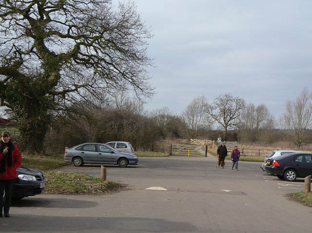
Car park, Summer Leys Nature Reserve. The reserve is based on lagoons left from aggregate extraction.
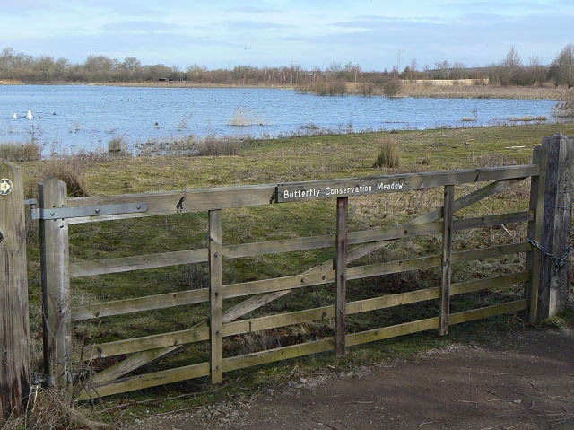
Butterfly Conservation Meadow. A variety of management techniques are used at Summer Leys Nature Reserve, including grazing and coppicing, to maintain a wide diversity of wildlife.
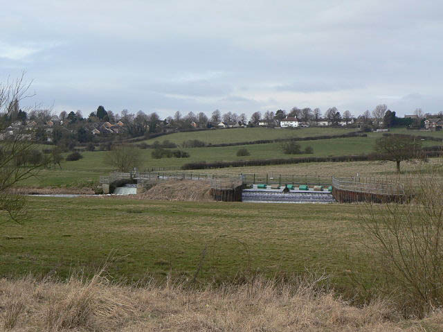
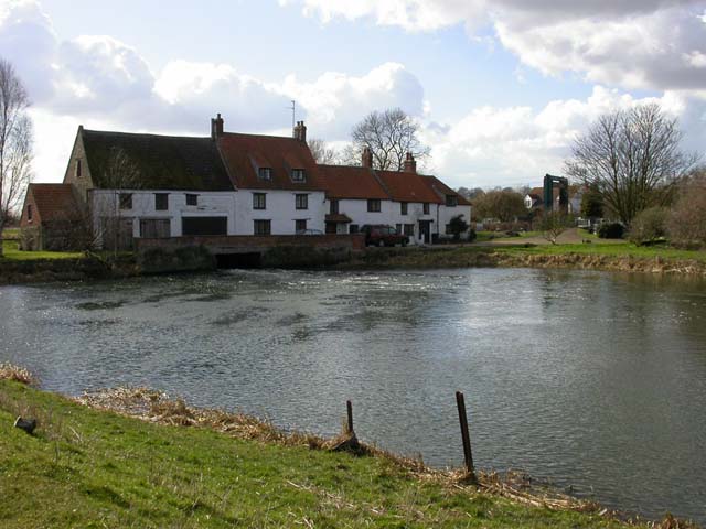
Weir for Wollaston Mill and lock. Located just to the west of the reserve. The weir maintains the level of the navigation channel for Wollaston Mill Lock, and would formerly have performed a similar function for the mill.
Platelayers hut on the old railway on the western side of the site. This would have provided shelter for the lengthsman maintaining the railway track when this was still an operating railway. Note also the surviving traditional telegraph pole. The railway ran from Northampton to Peterborough.
