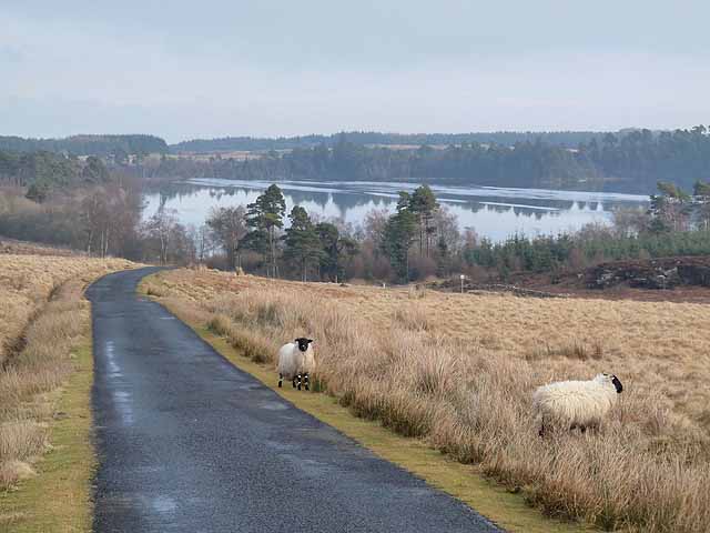
Sweethope Loughs
3.6 miles (5.8 km)
![]()
![]() This walk visits the Sweethope Loughs in Northumberland, near Bellingham.
This walk visits the Sweethope Loughs in Northumberland, near Bellingham.
The two freshwater lakes are primarily used for fishing but walkers can enjoy some pleasant footpaths leading through the surrounding woodland and countryside. You can extend the walk by following a bridle path south to visit the nearby Colt Crag Reservoir and Hallington Reservoir.
Postcode
NE19 2PN - Please note: Postcode may be approximate for some rural locationsSweethope Loughs Ordnance Survey Map  - view and print off detailed OS map
Sweethope Loughs Open Street Map  - view and print off detailed map
Sweethope Loughs OS Map  - Mobile GPS OS Map with Location tracking
Sweethope Loughs Open Street Map  - Mobile GPS Map with Location tracking
Further Information and Other Local Ideas
To the north there's the popular Kielder Forest where you can visit the wildlife on the expansive Catcleugh Reservoir and see the delightful secluded waterfalls at Hindhope Linn.


