Tadpole Bridge to Newbridge Walk
![]()
![]() This easy riverside walk follows a section of the Thames Path National Trail from the popular Tadpole Bridge Inn to the historic old bridge at Newbridge to the east.
This easy riverside walk follows a section of the Thames Path National Trail from the popular Tadpole Bridge Inn to the historic old bridge at Newbridge to the east.
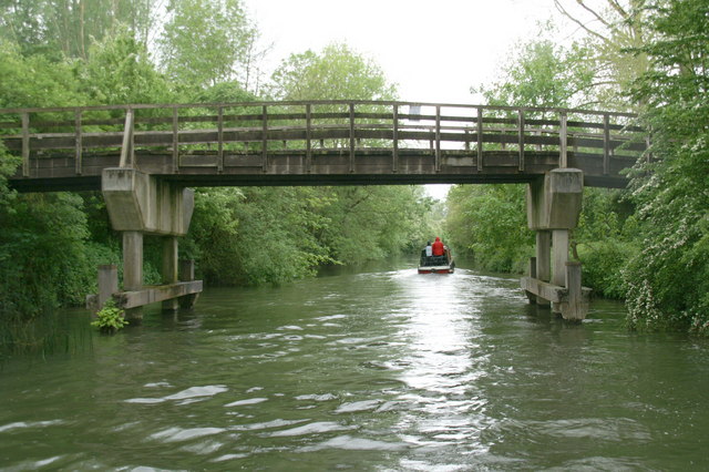
The walk starts at the Trout inn and old bridge and heads east along the riverside path to Ten Foot Bridge and Shifford Lock. The final section take you into Newbridge where you could stop for some refreshments before the return leg.
The photogenic bridge here dates back to the 13th century and is one of the two oldest surviving bridges on the Thames. It is Grade I listed and sits close to the confluence with the River Windrush. At either end of the bridge there's a public house.
Head west from the inn and you could pick up the circular Bampton Walk which starts from the nearby village and explores some of the local countryside.


