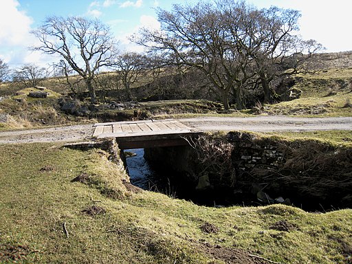
Tees Railway Walk - Cotherstone to Romaldkirk
![]()
![]() This walk runs along the old trackbed of the Tees Valley Railway, from Cotherstone to Romaldkirk. The railway was originally opened in 1868 and closed in 1965. It ran for just over 8 miles between Barnard Castle and Middleton-in-Teesdale on the South Durham & Lancashire Union Railway.
This walk runs along the old trackbed of the Tees Valley Railway, from Cotherstone to Romaldkirk. The railway was originally opened in 1868 and closed in 1965. It ran for just over 8 miles between Barnard Castle and Middleton-in-Teesdale on the South Durham & Lancashire Union Railway.
The walk runs for about 2.5 miles on a reasonably flat path with nice views of the surrounding Teesdale countryside. In the summer months you can see lots of wildflowers and butterflies along the path. You can extend the walk by continuing to Mickleton and Lonton.
To continue your walking in the area, you can try our Teesdale Way Circular Walk which uses riverside paths to explore the area. There are also nice walks around Barnard Castle and the fascinating ruins of Egglestone Abbey.
Tees Railway Walk Ordnance Survey Map  - view and print off detailed OS map
Tees Railway Walk Open Street Map  - view and print off detailed map
Tees Railway Walk OS Map  - Mobile GPS OS Map with Location tracking
Tees Railway Walk Open Street Map  - Mobile GPS Map with Location tracking
Pubs/Cafes
On the route you could stop at Mickleton and enjoy some refreshments at The Crown. There's a good menu and a splendid beer garden with views of the countryside here. It's a lovely place to sit and relax if the weather is fine. You can find the pub at a postcode of DL12 0JZ for your sat navs. It's also very dog friendly if you have your canine friend in tow.
In Romaldkirk there's the Rose and Crown. The 18th century coaching inn sits in a fine position in the village centre, next to the Saxon church. They serve good quality food and have some outdoor seating as well.
Further Information and Other Local Ideas
For more walking ideas in the area see the County Durham Walks page.


