Thorne Moors Walks
![]()
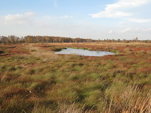
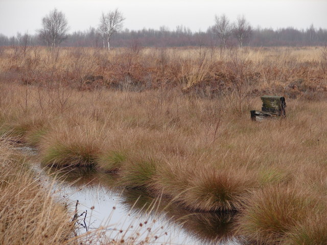
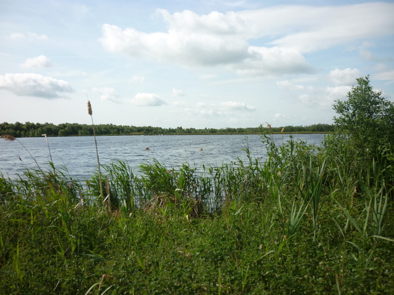
![]() This walk explores the Thorne Moors National Nature Reserve, the largest area of lowland raised peat bog in the UK.
This walk explores the Thorne Moors National Nature Reserve, the largest area of lowland raised peat bog in the UK.
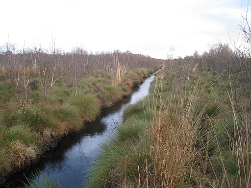
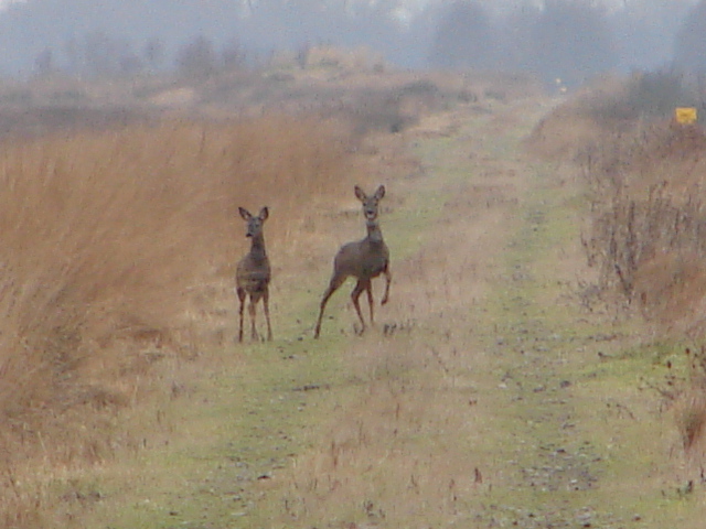
The walk starts at the village of Moorends which is located on the western fringes of the moors. From here you can pick up a section of the Peatlands Way and follow the waymarked footpath east onto the moors. The area is great for wildlife with birds such as Marsh Harrier and cuckoo to look out for. You may even spot roe deer and adders.
To continue your walking in the area head south to explore the Hatfield Moors. The moors are also part of the Humberhead Peatlands National Nature Reserve and can be reached on the Peatlands Way path. It includes views of the River Torne and the Epworth Turbury Nature Reserve on the Isle of Axholme Greenway.


