Thornton le Dale
5 miles (8 km)
![]()
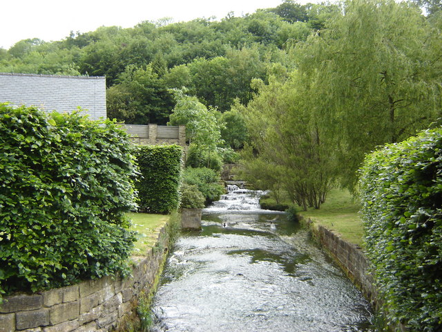
![]() A circular walk from the village of Thornton le Dale, taking you through the countryside to Dalby Forest. The village is one of the jewels of the North York Moors with delightful thatched cottages, village green, pretty stream and beautiful Ryedale countryside.
A circular walk from the village of Thornton le Dale, taking you through the countryside to Dalby Forest. The village is one of the jewels of the North York Moors with delightful thatched cottages, village green, pretty stream and beautiful Ryedale countryside.
This walk takes you along the Thornton Beck to the fringes of Dalby Forest. On the way you will pass Ellerburn where you can visit the ancient Church of St Hilda which dates from 1050. The church includes an 11th century font and a beautifully carved Anglo-Scandinavian Viking cross which can be found on the south wall of the nave.
The village is located just to the east of Pickering where you can visit the castle and pick up the North York Moors Railway.


