Thurlbear Wood
![]()
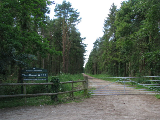
![]() This walk visits the pretty Thurlbear Wood nature reserve near Taunton in Somerset.
This walk visits the pretty Thurlbear Wood nature reserve near Taunton in Somerset.
There's 40 acres to explore here with peaceful woodland trails, views of the surrounding countryside, ancient forest, wildflowers and lots of wildlife to see. In particular keep your eyes peeled for a variety of butterflies during the summer months.
The site is located just a few miles south east of Taunton, near to the village of Stoke St Mary.
The Staple Fitzpaine Herepath passes the site. You could pick up this circular trail to explore the surrounding Blackdown Hills AONB. Follow the trail round to the south and it will take you to the ancient earthworks at Castle Neroche.
Postcode
TA3 5BW - Please note: Postcode may be approximate for some rural locationsThurlbear Wood Ordnance Survey Map  - view and print off detailed OS map
Thurlbear Wood Open Street Map  - view and print off detailed map
Thurlbear Wood OS Map  - Mobile GPS OS Map with Location tracking
Thurlbear Wood Open Street Map  - Mobile GPS Map with Location tracking
Dog Walking
As you'd imagine the woodland trails are ideal fro dog walking so you may see other owners on a fine day.


