Tollymore Forest Park
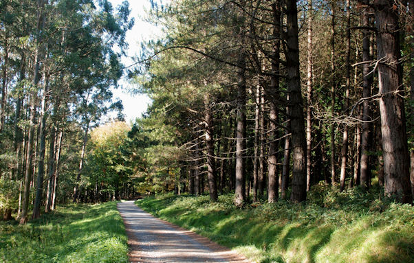
![]() Enjoy miles of woodland trails and a waterside stroll along the beautiful Shimna River on this circular walk in the Mourne Mountains. There are 1,600 acres to explore with the park surrounded by mountains and located close to the coastal town of Newcastle in County Down. In the park there are four colour code trails to follow of varying lengths. The trails are all signposted and visit the arboretum, the Shimna River and the two forested hills known as the Drinns.
Enjoy miles of woodland trails and a waterside stroll along the beautiful Shimna River on this circular walk in the Mourne Mountains. There are 1,600 acres to explore with the park surrounded by mountains and located close to the coastal town of Newcastle in County Down. In the park there are four colour code trails to follow of varying lengths. The trails are all signposted and visit the arboretum, the Shimna River and the two forested hills known as the Drinns.
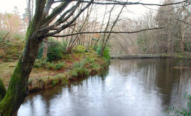
This walk starts from the car park near Bryansford and passes along the river with its series of pretty bridges, rocky outcrops and waterfalls. One of the bridges dates from the early 18th century.
The walk then passes along a series of woodland trails with a variety of interesting trees such as monkey puzzle, eucalyptus and impressive giant redwoods. There are also some viewpoints to climb where you can enjoy fantastic views over the surrounding area. From the Curraghard viewpoint in the south eastern corner of the park there are views over the Northern Mournes, Dundrum Bay, Newcastle and the Irish Sea.
This is a walking route but the forest is also great for mountain biking with lots of fine mtb trails to try.
If you would like to extend your walking in the area then you could climb the nearby Slieve Donard or Slieve Binnian.
Also nearby is the splendid Murlough Bay National Nature Reserve where there is a beautiful sand dune system, woodland trails and a wonderful beach.
At Rostrevor you will find the excellent Kilbroney Forest Park where there are some great mountain bike trails and walks to Slieve Martin.
Postcode
BT31 9BU - Please note: Postcode may be approximate for some rural locationsTollymore Forest Park Open Street Map  - view and print off detailed map
Tollymore Forest Park Open Street Map  - Mobile GPS Map with Location tracking
Explore the Area with Google Street View 
Dog Walking
As you'd imagine the wide woodland paths are ideal for dog walking so you'll probably meet other owners on your visit.
Further Information and Other Local Ideas
Just to the west of the park you can pick up the Trassey Track to Hare's Gap. The path rises through a spectacular valley with riverside trails and more wonderful scenery to enjoy. You can pick up the trail from the Trassey car park less than a mile west of the park.
The long distance Mourne Way passes through the forest. The 23 mile trail runs from coastal Newcastle to Rostrevor on Carlingford Lough. The waymarked path is a great way of further exploring the Mourne Mountains.
Head north and you could visit Drumkeeragh Forest near Ballynahinch. There's more fine woodland trails with the option of a climb to Slieve Croob where you can enjoy some wonderful views over the area. In Ballynahinch there's also the historic Montalto Estate. The estate includes an 18th century Georgian mansion surrounded by woodland, gardens and parkland.
Cycle Routes and Walking Routes Nearby
Photos
Tollymore Forest Park towards Castlewellan. The large Mountain in the distance is Slieve Croob.
Millpond, Tollymore forest. Although substantially modernised, with concrete sides, this mill pond might date from the early 19th century. It stored the water used to drive the waterwheels of the estate’s sawmills.
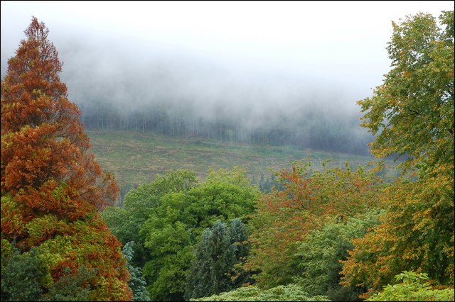
Winter at Tollymore forest near Bryansford. The winter conifers of Tollymore forest seen from the Islands Park, Newcastle.
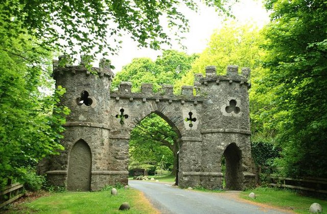
The Barbican Gate. The main entrance to the estate was through the Barbican Gate just to the SE of Bryansford. The exact date of building is uncertain but thought to be between 1777 and 1800. The view is inward.


