Tor Y Foel Walk
![]()
![]() This walk climbs to Tor Y Foel in the Brecon Beacons National Park in Powys.
This walk climbs to Tor Y Foel in the Brecon Beacons National Park in Powys.
The hill is located in a beautiful location between the pretty village of Llangynidr and the picturesque Talybont Reservoir.
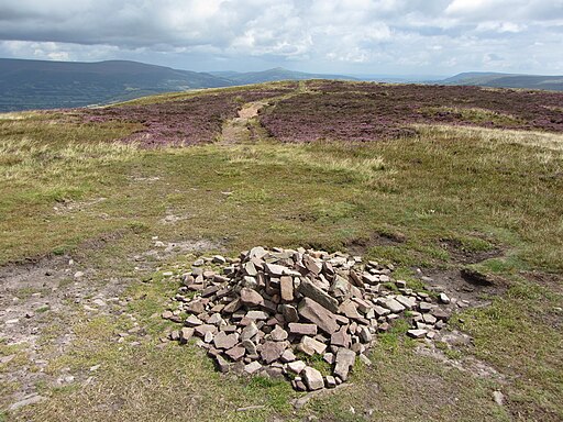
The walk starts from Llangynidr and follows country lanes and bridle paths west towards the hill. It's about a 2 mile walk to the hill summit which stands at a height of 551 metres. At the top there's a small cairn and some glorious views over the valley of the River Usk, across to the Black Mountains and west to the Brecon Beacons.
To extend the walk continue west to visit Talybont Reservoir where there are is a lovely circular lakeside trail.
Tor Y Foel Ordnance Survey Map  - view and print off detailed OS map
Tor Y Foel Open Street Map  - view and print off detailed map
Tor Y Foel OS Map  - Mobile GPS OS Map with Location tracking
Tor Y Foel Open Street Map  - Mobile GPS Map with Location tracking
Pubs/Cafes
Back in Llangynidr you can head to the Coach and Horses for some post walk refreshments. This fine old coaching inn has an appealing interior with old beams, oak panelling and flagstone floors. Outside there's a peaceful garden overlooking the canal with stunning views over the local countryside. It's a great place to relax on a summer day after your exercise. You can find them on Cwm Crawnon Road with a postcode of NP8 1LS. They are dog friendly if you have your canine friend with you.
Cycle Routes and Walking Routes Nearby
Photos
Llangynidr Bridge. Start the walk from this pretty village where there are nice walks along the Monmouthshire and Brecon Canal and the River Usk.
A panoramic view over Talybont Reservoir from the hill. This image was from a low NE part of Tor y Foel (Craig Danywenallt) looking SW. The peak on the right is the low part of Allt Lwyd. The small settlement in the midground is Abercynafon.


