GPS Cycle and Walking Routescycle iconwalk icon

Trearddur Bay to Rhoscolyn White Eagle Walk

3.11 miles (5 km)

Ordnance Survey Map Open Streetmap This walk takes you along a section of the Anglesey Coast Path from Trearddur Bay to the White Eagle pub in Rhoscolyn.
It's about a 3 mile walk along an undulating coastal path with tremendous views and interesting geology including two photogenic Natural sea arches.
You can start the walk in the car park at Trearddur Bay. From here you can pick up the waymarked footpath and follow it south to Porth Diana and Ravens Point. You continue south past Gromlech before coming to Porth Saint. Here you leave the coast, following footpaths east into Rhoscolyn where you can enjoy some post walk refreshment at the popular White Eagle public house. The attractive pub includes a patio area with superb views over Caernarfon Bay and the Lleyn Peninsula to Bardsey Island.

Postcode

LL65 2YP - Please note: Postcode may be approximate for some rural locations

Trearddur Bay to Rhoscolyn White Eagle Walk OS Map Ordnance survey map - Mobile GPS OS Map with Location tracking

Trearddur Bay to Rhoscolyn White Eagle Walk Open Street Map Open Streetmap - Mobile GPS Map with Location tracking

Cycle Routes and Walking Routes Nearby

Photos

Trearddur Bay - geograph.org.uk - 1900181

Trearddur Bay

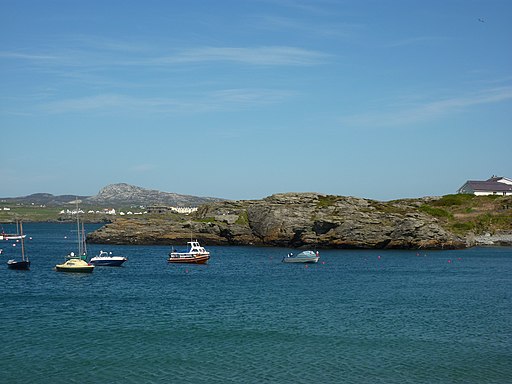
Small boats moored in Porth Diana - geograph.org.uk - 2401277

Small boats moored in Porth Diana

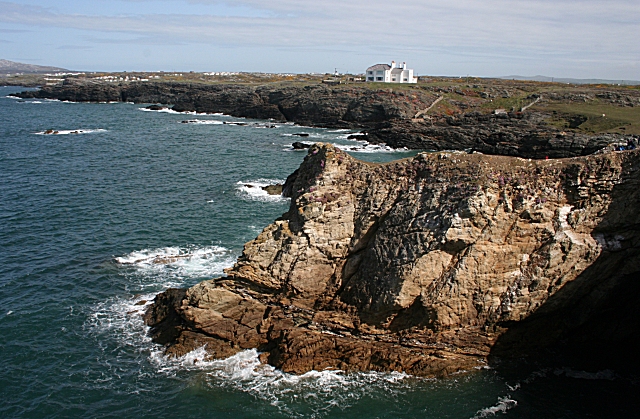
Coast path view - geograph.org.uk - 3657799

Coast path view

Near Bwa Du - geograph.org.uk - 1890449

Near Bwa Du

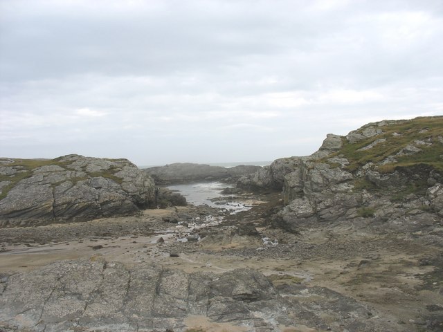
View seawards along the cove - geograph.org.uk - 867908

View seawards along the cove

Natural sea arch - geograph.org.uk - 1245786

Natural sea arch

View southwards across Porth Saint - geograph.org.uk - 866793

View southwards across Porth Saint

The White Eagle, Rhoscolyn (geograph 4585268)

The White Eagle, Rhoscolyn

GPS Files

GPX File

Trearddur Bay to Rhoscolyn White Eagle Walk.gpx (On Desktop:Right Click>Save As. On Ipad/Iphone:Click and hold>Download Linked File)