Trim Castle River Walk
![]() This circular walk visits the historic Trim Castle, on the River Boyne in County Meath.
This circular walk visits the historic Trim Castle, on the River Boyne in County Meath.
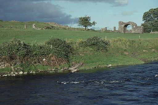
You can follow pleasant footpaths around the medieval castle grounds and along the river with some fine views of the surrounding countryside. There's also a footbridge over the river which you can cross to explore the other bank and the attractive Porchfield meadows. There are more photogenic ruins here including the Yellow Steeple and the Old Sheep Gate.
Just north is the Boyne Valley Walk where you can visit the ancient Hill Of Tara, the historic Slane Castle and Brú na Bóinne, a fascinating UNESCO World Heritage Site.
Trim Castle Open Street Map  - view and print off detailed map
Ireland Walking Map - View All the Routes in the Country>>
Trim Castle Open Street Map  - Mobile GPS Map with Location tracking
Further Information and Other Local Ideas
The castle is the largest Anglo-Norman fortification in Ireland. Hugh de Lacy and his successors took 30 years to build it.
The central fortification is a monumental three-storey keep. This massive 20-sided tower, which is cruciform in shape, was all but impregnable in its day. It was protected by a ditch, curtain wall, and water-filled moat.
Modern walkways now allow you to look down over the interior of the keep – a chance to appreciate the sheer size and thickness of the mighty castle walls.
The castle is often called King John’s Castle, although when he visited the town he preferred to stay in his tent on the other side of the river. Richard II visited Trim in 1399 and left Prince Hal, later Henry V, as a prisoner in the castle.
Also nearby is the site of the famous Battle of the Boyne. The area includes an excellent visitor centre and a number of walkways taking you around the site of the historic 17th century battle. There are also pretty gardens and walks along the River Boyne and the Boyne Canal. You can reach the site from nearby Drogheda by following the Drogheda Boyne Greenway west from the town. The shared cycling and walking trail utilises sections of boardwalk and riverside paths along the River Boyne to reach the battlefield. It's a pleasant way to reach the site without a car.
The Girley Bog Eco Walk will take you through one of the last remaining areas of raised bog in the region. It's an interesting area for flora and fauna with educational information panels to see on the way.
Cycle Routes and Walking Routes Nearby
Photos
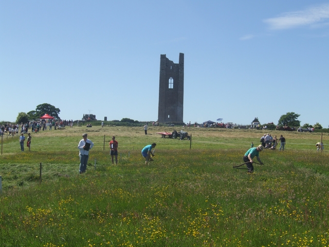
The Yellow Steeple. St. Mary's Abbey was once a house of Augustinian canons devoted to the Blessed Virgin. Located on the north bank of the River Boyne, directly opposite Trim Castle, the abbey was established on land attributed to St. Patrick, who is often believed to have founded it. This abbey was a significant pilgrimage destination, renowned for the curative powers of its statue of the Virgin Mary, until it was dissolved under Henry VIII during the Reformation. Today, little of the abbey survives, apart from the Yellow Steeple – the remains of the abbey bell tower, named for the yellow hue the stonework casts in the setting sun – and Talbot's Castle, a former abbey structure converted into a manor house.


